
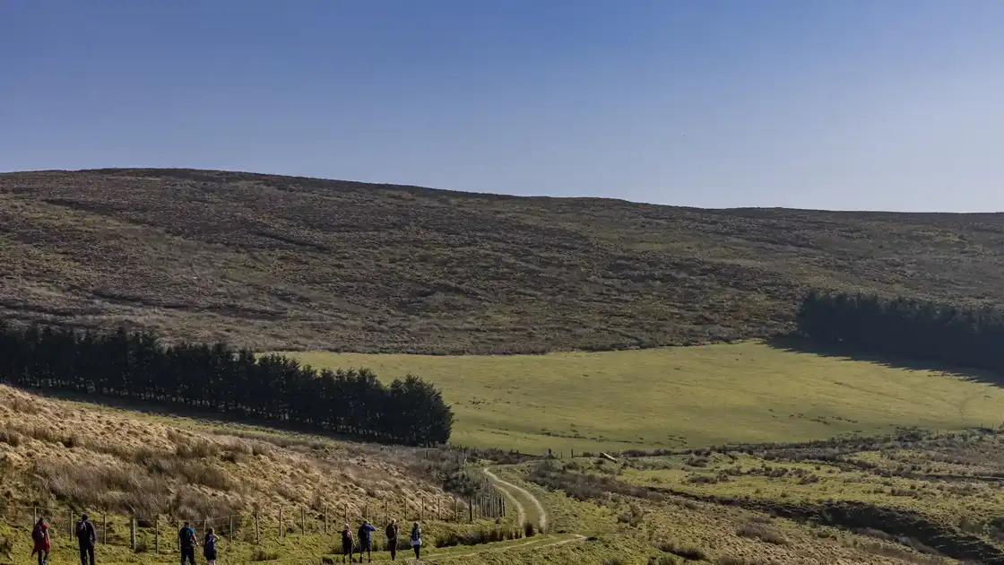
Walk the Ulster Way
The Ulster Way is a 636-mile / 1,024 km long-distance walking route encircling Northern Ireland. Linking a series of established walking trails and connecting sections, the route passes through all six counties of Northern Ireland, with short sections crossing into the Republic of Ireland, and connects mountains, loughs, forests, river valleys and some of the most dramatic stretches of the Irish coast.
The circuit can be joined at numerous places, including Belfast, where sections along the Lagan and Belfast Lough connect the city with the wider route. Travelling around the eastern side of Northern Ireland, the Ulster Way follows coastal and rural sections through County Down, including the landscapes around Strangford Lough and Downpatrick, before reaching Newcastle beneath the Mourne Mountains.
From Newcastle, the Mourne Way crosses the Mourne Mountains towards Rostrevor, with forest, mountain and valley landscapes accompanying the route towards Carlingford Lough. The Ulster Way then continues through Newry and the volcanic hills of the Ring of Gullion, before following the Newry Canal north towards Portadown.
Across the southern and western part of the circuit, the trail reaches increasingly rural landscapes as it passes through County Armagh, County Tyrone and County Fermanagh. Around Sliabh Beagh the route crosses remote moorland and briefly moves between Northern Ireland and the Republic of Ireland before reaching Lisnaskea and the Fermanagh lakelands.
Beyond Florence Court, the route enters the landscapes of the Cuilcagh Lakelands UNESCO Global Geopark, passing close to Marble Arch Caves and the slopes of Cuilcagh Mountain before reaching Belcoo. The trail then continues through western Fermanagh, where forests, uplands and views across Lower Lough Erne characterise the journey towards Belleek.
From the Fermanagh lakelands, the Ulster Way turns east towards the Sperrin Mountains. Sections through Gortin, Glenelly Valley and the surrounding uplands cross one of Northern Ireland's largest mountain landscapes before the trail reaches Dungiven and begins its approach towards the north coast.
At Castlerock the character of the route changes again as the trail reaches the Atlantic. It continues through Portstewart and Portrush along the Causeway Coast, passing Dunluce Castle before reaching the Giant's Causeway and Causeway Coast UNESCO World Heritage Site, where thousands of basalt columns meet the sea beneath the cliffs of the north Antrim coast.
The route continues east through Ballintoy towards Ballycastle, with coastal cliffs, beaches and offshore views defining this section. From Ballycastle, the Moyle Way heads inland through the uplands and forests of the Glens of Antrim, passing the slopes of Knocklayd and the landscapes around Glenariff before the wider circuit continues south through the Antrim Hills.
The final eastern sections pass through County Antrim towards Belfast Lough, completing a circuit that ranges from remote mountain and bog landscapes to coastal paths, canals, forests, towns and cities. Because the Ulster Way combines waymarked Quality Sections with connecting sections, some of which follow public roads, it can also be explored as a series of individual long-distance walks rather than only as a continuous circuit.
Overview
Distance: 636 miles / 1,024 km
Typical duration: 4–6 weeks
Difficulty: Moderate to Challenging
Start: Circular route, commonly Belfast
Finish: Same as start
Terrain: Mountain paths, moorland, forest tracks, coastal paths, beaches, canal towpaths, riverside paths, farmland and road sections
Check availability
Select your dates to check current availability and prices.