
Walk the Ribble Way
The Ribble Way is a 72-mile / 116 km long-distance trail running from Longton near the Lancashire coast to Ribblehead in the Yorkshire Dales. Following the River Ribble upstream for much of its journey, the route connects tidal landscapes, historic towns and villages, farmland, river valleys and increasingly wild upland country.
Beginning at Longton on the southern side of the Ribble Estuary, the trail heads inland towards Preston before joining the river more closely as it continues east. The lower reaches of the Ribble are characterised by tidal marshes, broad riverbanks and low-lying countryside, with the landscape gradually becoming more rural beyond the city.
East of Preston, the Ribble Way follows the river through the countryside of the Ribble Valley, passing villages including Ribchester before continuing towards Clitheroe. This central section combines riverside paths, farmland and woodland with views towards the surrounding hills, while historic settlements provide natural stopping points along the route.
Beyond Clitheroe, the trail continues upstream through increasingly quiet countryside, passing through the upper Ribble Valley towards Gisburn and the Yorkshire border. The river narrows as the surrounding landscape becomes more enclosed by hills and the route approaches the Pennine countryside.
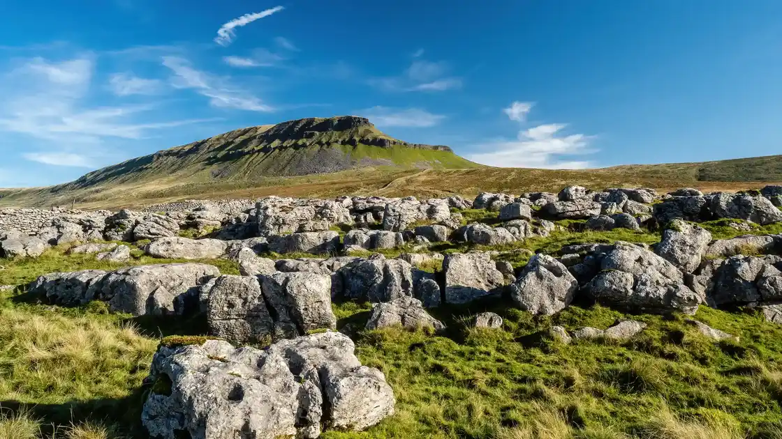
Entering the Yorkshire Dales National Park, the character of the walk changes again. Limestone scenery, open moorland and upland pastures replace the gentler landscapes of Lancashire as the route continues through Settle, Stainforth and Horton-in-Ribblesdale.
The final section heads into increasingly remote country towards Ribblehead, beneath the high ground of the Yorkshire Dales. The River Ribble rises nearby on the moors around Cam Fell and Gayle Moor, bringing the journey from the tidal estuary to the upper reaches of the river to an end.
Overview
Distance: 72 miles / 116 km
Typical duration: 5–7 walking days
Difficulty: Moderate
Start: Longton
Finish: Ribblehead
Terrain: Tidal marshes, riverside paths, farmland, woodland, limestone country, upland pastures and open moorland
Check availability
Select your dates to check current availability and prices.