
Walk the Pilgrims' Way
The Pilgrims' Way runs for around 133 miles from Winchester to Canterbury, linking two of England's historic cathedral cities through the countryside of Hampshire, Surrey and Kent. The modern walking route draws on a much older network of tracks and pilgrimage routes associated with journeys to Canterbury.
From Winchester, the route heads east through the Hampshire countryside towards New Alresford and Alton. This western section follows the corridor of St Swithun's Way before continuing towards Farnham and the North Downs.
From Farnham, the Pilgrims' Way follows the landscapes of the North Downs east through Surrey. The route passes through and close to Guildford, Dorking and Reigate, crossing chalk hills, woodland, farmland and historic settlements along the way.
Around Dorking, the route passes through the Surrey Hills National Landscape, including countryside around Box Hill and the Mole Valley. Further east, the trail continues towards Merstham, Oxted and Otford before crossing into Kent.
Across Kent, the Pilgrims' Way follows the North Downs through a succession of villages, wooded slopes and agricultural landscapes. The route continues through the countryside around Wrotham and towards the Medway Valley before heading east towards Aylesford.
Beyond Aylesford, the trail continues along the Kent Downs through countryside and historic settlements including Harrietsham, Charing and Chilham. Much of this eastern section lies within the Kent Downs National Landscape, following the chalk landscape towards Canterbury.
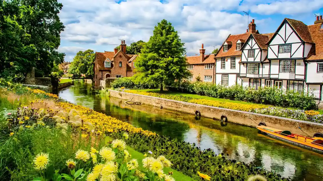
The final stages approach Canterbury through the Kent countryside before reaching Canterbury Cathedral, the destination associated with the medieval pilgrimage to the shrine of Thomas Becket.
Winchester, Alton, Farnham, Guildford, Dorking, Reigate, Aylesford and Canterbury provide useful bases along the route. The Pilgrims' Way can be completed as a long-distance pilgrimage or explored through shorter sections and walking breaks across the Hampshire countryside, Surrey Hills and Kent Downs.
Overview
Distance: 133 miles / 213 km
Typical duration: 10–14 walking days
Difficulty: Moderate
Start: Winchester, Hampshire
Finish: Canterbury, Kent
Terrain: Chalk downland, woodland paths, field paths, ancient tracks, rural lanes, farmland and urban paths
Check availability
Select your dates to check current availability and prices.