
Walk the North Downs Way
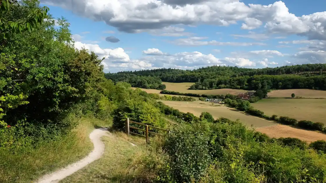
The North Downs Way follows the chalk hills of South East England for 126 miles from Farnham in Surrey to Dover on the Kent coast. The National Trail crosses the Surrey Hills National Landscape and Kent Downs National Landscape, linking countryside, woodland, villages and historic places along the North Downs.
From Farnham, the trail heads east across the Surrey countryside towards Guildford. The route follows wooded hills, chalk slopes and sections of open downland as it continues through the Surrey Hills and towards the landscapes around the River Wey.
East of Guildford, the North Downs Way continues through the Surrey Hills towards Dorking and the Mole Valley. The trail climbs onto the downs around Box Hill before continuing east through woodland, farmland and chalk landscapes towards the Surrey and Kent border.
In Kent, the route continues along the North Downs through countryside, villages and historic landscapes. Sections of the trail follow an ancient east-west corridor associated with the Pilgrims' Way as the route progresses towards the Medway Valley and Canterbury.
The eastern part of the North Downs Way crosses the Kent Downs National Landscape, with chalk hills, woodland and farmland leading towards the Kent coast. The route eventually reaches the chalk cliffs above Dover before descending towards the town and the end of the trail.
Farnham, Guildford, Dorking, Canterbury and Dover provide useful bases for exploring individual stages, with accommodation available in towns and villages along much of the route.
Overview
Distance: 126 miles / 203 km
Typical duration: 7–10 walking days
Difficulty: Moderate
Start: Farnham, Surrey
Finish: Dover, Kent
Terrain: Chalk downs, woodland paths, farmland, hills, river valleys, quiet lanes and coastal paths
Check availability
Select your dates to check current availability and prices.