
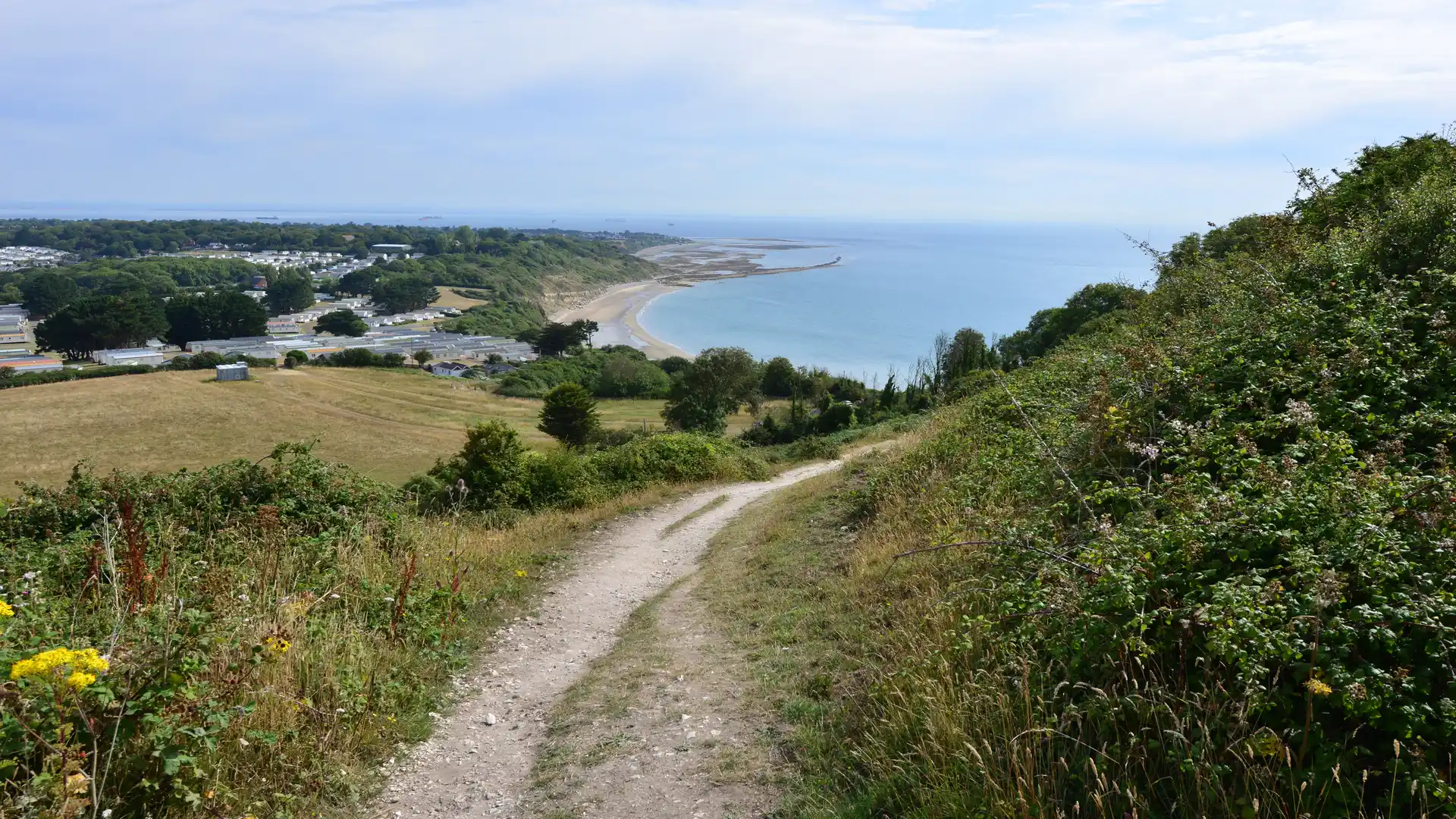
Walk the Isle of Wight Coastal Path
The Isle of Wight Coastal Path is a 68-mile circular trail around the Isle of Wight, linking coastal towns, beaches, chalk cliffs, downs, nature reserves and historic landscapes. Much of the route passes through the Isle of Wight National Landscape, while the entire island forms part of the Isle of Wight UNESCO Biosphere Reserve.
The circular route can be joined at several of the island's ferry ports, including Cowes, Yarmouth and Ryde. From Cowes, the path follows the northern coast towards the creeks, woodland and saltmarsh around Newtown National Nature Reserve before continuing west to Yarmouth.
Beyond Yarmouth, the trail reaches the more exposed western coast of the island. The route passes through Freshwater and climbs into the chalk downland around Tennyson Down, leading towards The Needles at the western tip of the Isle of Wight. Chalk cliffs, sea stacks and views across the English Channel make this one of the most distinctive sections of the entire coastal path.
Turning east, the trail follows the island's south-west coast past Freshwater Bay and Compton Bay, where high cliffs and open coastal landscapes extend towards Brighstone and Chale. The route continues around St Catherine’s Point before reaching the wooded undercliffs and coastal scenery around Ventnor.
From Ventnor, the path continues through the seaside towns of Shanklin and Sandown before reaching the eastern side of the island. Around Culver Down, chalk grassland and cliffs overlook Sandown Bay and the Solent, with the route continuing towards Bembridge and the quieter coastline of the north-east.
The final part of the circuit passes through Seaview and Ryde before following the northern shore towards Osborne, the former island residence of Queen Victoria, and returning towards Cowes. The changing character of the coastline, from exposed chalk cliffs and open downs to sheltered creeks, beaches and harbour towns, gives each section of the circular route a distinct landscape.
Overview
Distance: 68 miles / 109 km
Typical duration: 4–7 walking days
Difficulty: Moderate
Start: Circular route, commonly Cowes, Yarmouth or Ryde
Finish: Same as start
Terrain: Coastal paths, chalk cliffs, downs, beaches, woodland, saltmarsh, promenades, farmland and quiet lanes
Check availability
Select your dates to check current availability and prices.