
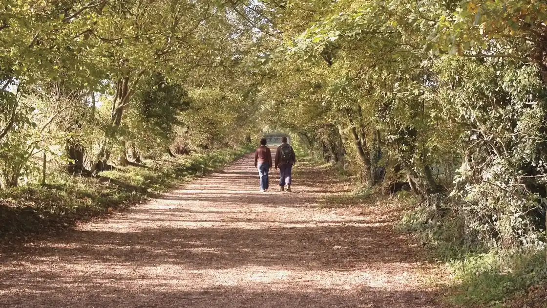
Walk the Heart of England Way
The Heart of England Way is a 104-mile long-distance trail from Milford Common on Cannock Chase to Bourton-on-the-Water in the Cotswolds. Crossing Staffordshire, Warwickshire and Gloucestershire, the route connects heathland, woodland, farmland, river valleys, historic towns and villages as it travels south through the heart of England.
Beginning at Milford Common within the Cannock Chase National Landscape, the trail crosses the heathland and woodland of Cannock Chase towards Castle Ring, an Iron Age hillfort occupying one of the highest points on the Chase. From here, the route leaves the higher ground and continues towards Lichfield, where it passes through the historic cathedral city.
South of Lichfield, the Heart of England Way crosses the Staffordshire countryside towards Drayton Bassett before reaching Kingsbury Water Park and the lakes and wetlands of the Tame Valley. The trail then continues through rural countryside to the east of Birmingham, passing Shustoke Reservoir on its way towards Meriden and Balsall Common.
The route continues through the wooded landscapes traditionally associated with the Forest of Arden, passing Baddesley Clinton before crossing the Grand Union Canal and Stratford-upon-Avon Canal. It then reaches Henley-in-Arden, a historic market town surrounded by the rolling countryside of Warwickshire.
From Henley-in-Arden, the trail heads south towards Alcester before crossing the River Avon at Bidford-on-Avon. Farmland, woodland and villages accompany the route through the Vale of Evesham as it approaches the northern edge of the Cotswolds.
Beyond Lower Quinton and Mickleton, the Heart of England Way enters the Cotswolds National Landscape. The terrain becomes increasingly defined by limestone hills, wooded valleys and villages as the route passes through the countryside around Broad Campden and Bourton-on-the-Hill.
The final section continues through the Cotswolds past Batsford and the villages of Upper Swell and Lower Slaughter before reaching Bourton-on-the-Water. Here the Heart of England Way finishes beside the River Windrush, completing the journey from the heathlands of Cannock Chase to the limestone landscapes of the Cotswolds.
Overview
Distance: 104 miles / 167 km
Typical duration: 7–9 walking days
Difficulty: Moderate
Start: Milford Common, Cannock Chase
Finish: Bourton-on-the-Water
Terrain: Heathland, woodland, farmland, river valleys, canal paths, rolling countryside and Cotswold hills
Check availability
Select your dates to check current availability and prices.