
Walk the Downs Link
The Downs Link runs for 37 miles from St Martha's Hill in Surrey to Shoreham-by-Sea in West Sussex, linking the North Downs Way with the coast through the countryside of South East England.
From St Martha's Hill, the route descends through the Surrey Hills towards Bramley. Beyond Bramley, the Downs Link follows the course of a former railway south through the countryside towards Cranleigh.
The trail continues through the Low Weald, passing through and close to rural communities including Rudgwick and Slinfold before reaching Christ's Hospital and Southwater. Much of the route follows former railway alignments, creating a predominantly level corridor through woodland, farmland and countryside.
South of Southwater, the Downs Link continues through Copsale and West Grinstead before heading towards Partridge Green and Henfield. This section crosses the rural landscapes of West Sussex as the route gradually approaches the South Downs.
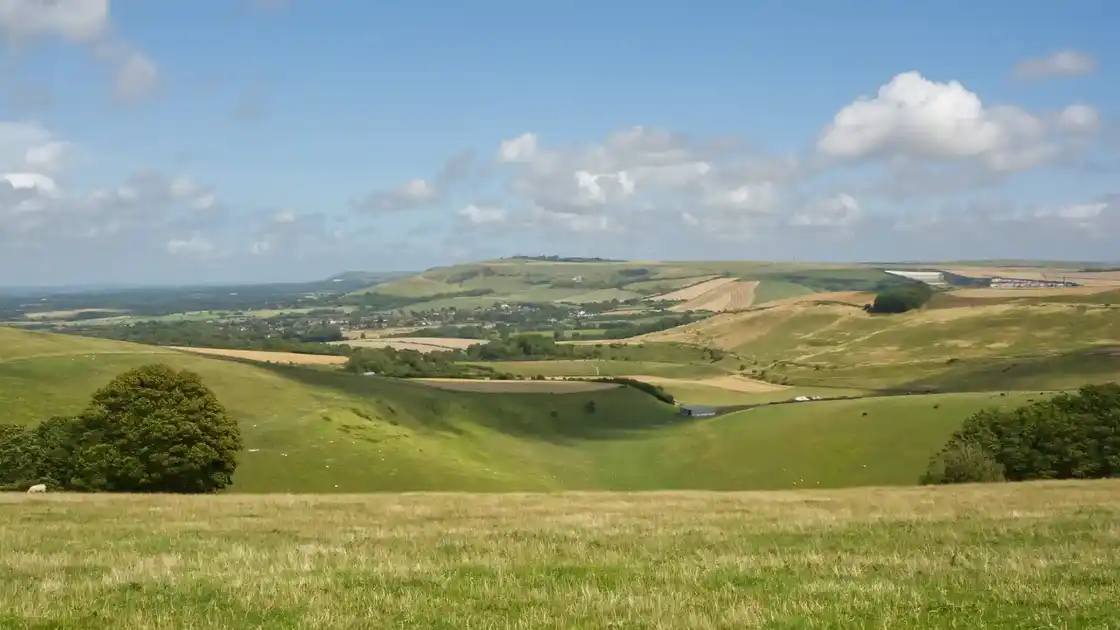
Beyond Henfield, the trail reaches the floodplain of the River Adur and continues towards Bramber. The landscape opens as the river cuts through the chalk hills of the South Downs National Park.
The final section follows the Adur Valley south towards the coast, passing through the South Downs before reaching Shoreham-by-Sea and the coastal plain.
Cranleigh, Southwater, Henfield, Bramber and Shoreham-by-Sea provide useful bases for exploring different parts of the route. The Downs Link can be completed as a short multi-day walk or explored through individual sections and walking breaks across the Surrey Hills, Low Weald, South Downs and Adur Valley.
Overview
Distance: 37 miles / 59 km
Typical duration: 2–3 walking days
Difficulty: Easy-going to Moderate
Start: St Martha's Hill, Surrey
Finish: Shoreham-by-Sea, West Sussex
Terrain: Former railway paths, woodland, field paths, farm tracks, surfaced paths, river paths and short road sections
Check availability
Select your dates to check current availability and prices.