
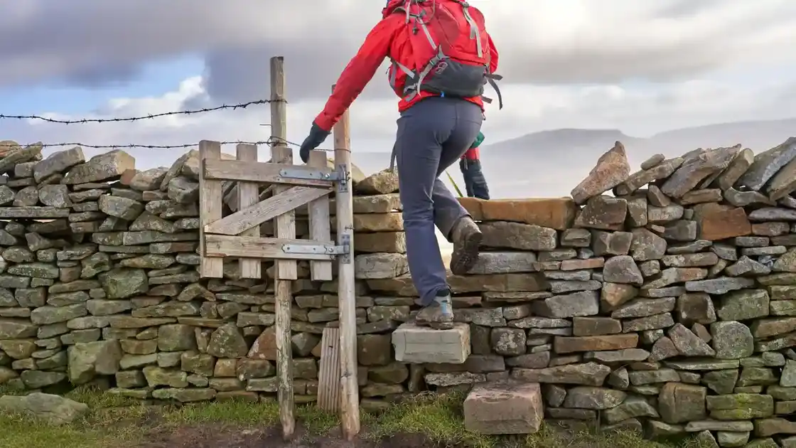
Walk the Dales High Way
The Dales High Way is a 90-mile long-distance walking route from Saltaire in West Yorkshire to Appleby-in-Westmorland in Cumbria. Designed as a higher-level journey through the Dales, the route crosses moorland, limestone country and high fells as it travels north through some of the most distinctive landscapes of northern England.
From Saltaire, the Dales High Way climbs away from the Aire Valley and crosses the moorland above the town. The route continues across Rombalds Moor and Ilkley Moor before descending towards Ilkley and the Wharfe Valley.
Beyond Ilkley, the trail heads west through countryside towards Addingham before climbing again across moorland towards Skipton. Open views across the surrounding valleys accompany the route before it descends into the market town.
From Skipton, the Dales High Way continues through the countryside towards Flasby and Hetton before entering the limestone landscapes of the Yorkshire Dales National Park. The route passes Winterburn Reservoir and crosses high ground towards Malham.
Around Malham, the trail passes some of the best-known limestone scenery in the Yorkshire Dales, including Malham Cove and the surrounding limestone uplands. The route then continues through open country towards Settle.
Beyond Settle, the Dales High Way follows the River Ribble towards Stainforth before climbing through limestone country towards Crummack Dale. The route then makes a substantial ascent of Ingleborough, one of the Yorkshire Three Peaks and the highest point on the Dales High Way.
From Ingleborough, the trail descends steeply towards Chapel-le-Dale before continuing around the slopes of Whernside. Old tracks lead through increasingly remote countryside towards Dent and the narrow valley of Dentdale.
Beyond Dent, the route crosses the hills towards Sedbergh. The landscape begins to change again as the limestone country of the Yorkshire Dales gives way to the rounded uplands of the Howgill Fells.
From Sedbergh, the Dales High Way climbs onto the Howgill Fells for one of its most distinctive high-level sections. The trail follows an extended ridge across open fell country before descending through Bowderdale towards Newbiggin-on-Lune.
The final stages cross the countryside of the Eden Valley, passing Sunbiggin Tarn and the limestone landscapes around Great Asby Scar. The route then follows the countryside around Hoff Beck before making its final approach towards Appleby-in-Westmorland.
Saltaire, Ilkley, Skipton, Malham, Settle, Dent, Sedbergh and Appleby-in-Westmorland provide useful bases along and around the route. Although the complete Dales High Way is a demanding multi-day walk, its railway connections and succession of towns, villages and landscapes also make it well suited to shorter sections and stay-based walking breaks.
Overview
Distance: 90 miles / 145 km
Typical duration: 6–8 walking days
Difficulty: Challenging
Start: Saltaire, West Yorkshire
Finish: Appleby-in-Westmorland, Cumbria
Terrain: Moorland paths, limestone tracks, high fells, field paths, rocky paths, old packhorse routes, rural lanes and riverside paths
Check availability
Select your dates to check current availability and prices.