
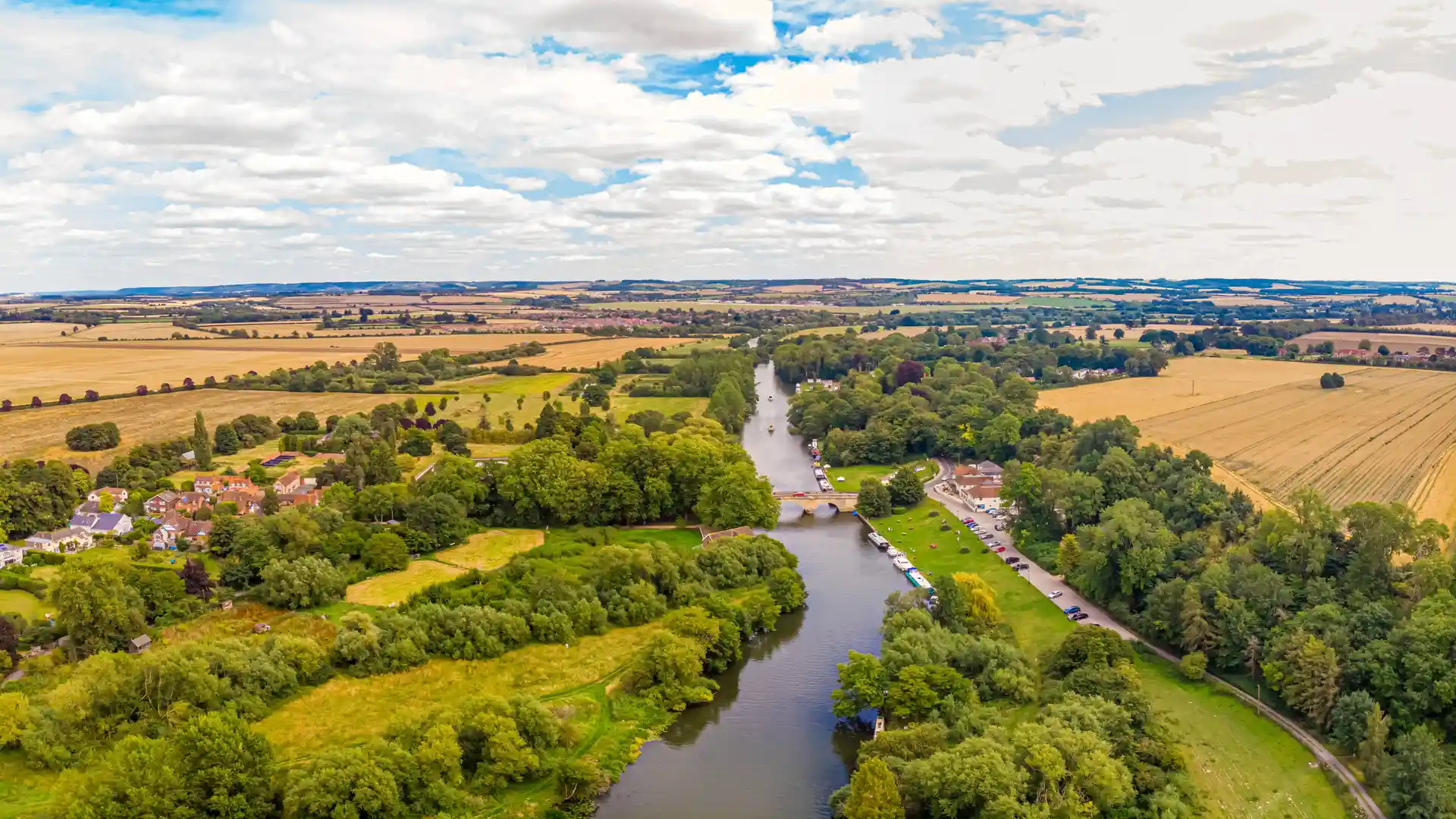
River Valleys, Hills, Countryside, and Historic Routes
From the rolling landscapes of the Cotswolds to the river valleys of the Thames and Cherwell, Oxfordshire contains a diverse network of routes, landscapes, and places shaped by geology, agriculture, and centuries of movement through the land. Trails such as the Thames Path, Oxfordshire Way, Ridgeway National Trail, and d'Arcy Dalton Way reveal many of these environments, while landscapes including the Cotswolds National Landscape, Chilterns National Landscape, the Upper Thames Valley, and Wittenham Clumps showcase some of the county's most distinctive natural environments.
Long-distance routes pass through countryside, river corridors, woodland, farmland, hills, and historic settlements, linking places that have shaped the character of Oxfordshire for generations. Together, these routes and landscapes reveal the character of the county while providing opportunities to explore at a slower pace through self-guided travel and independent exploration.
Check availability
Select your dates to check current availability and prices.