
Thames Path
Meadows, market towns, and a journey along England's most familiar river.
The Thames Path is a long-distance National Trail following the River Thames from its source at Thames Head near Kemble to the Thames Barrier in London. Tracing the full course of the river through the Cotswolds, Thames Valley, and the capital, the route links rural landscapes, historic towns, riverside communities, and some of England's most recognisable landmarks through a continuous journey on foot.
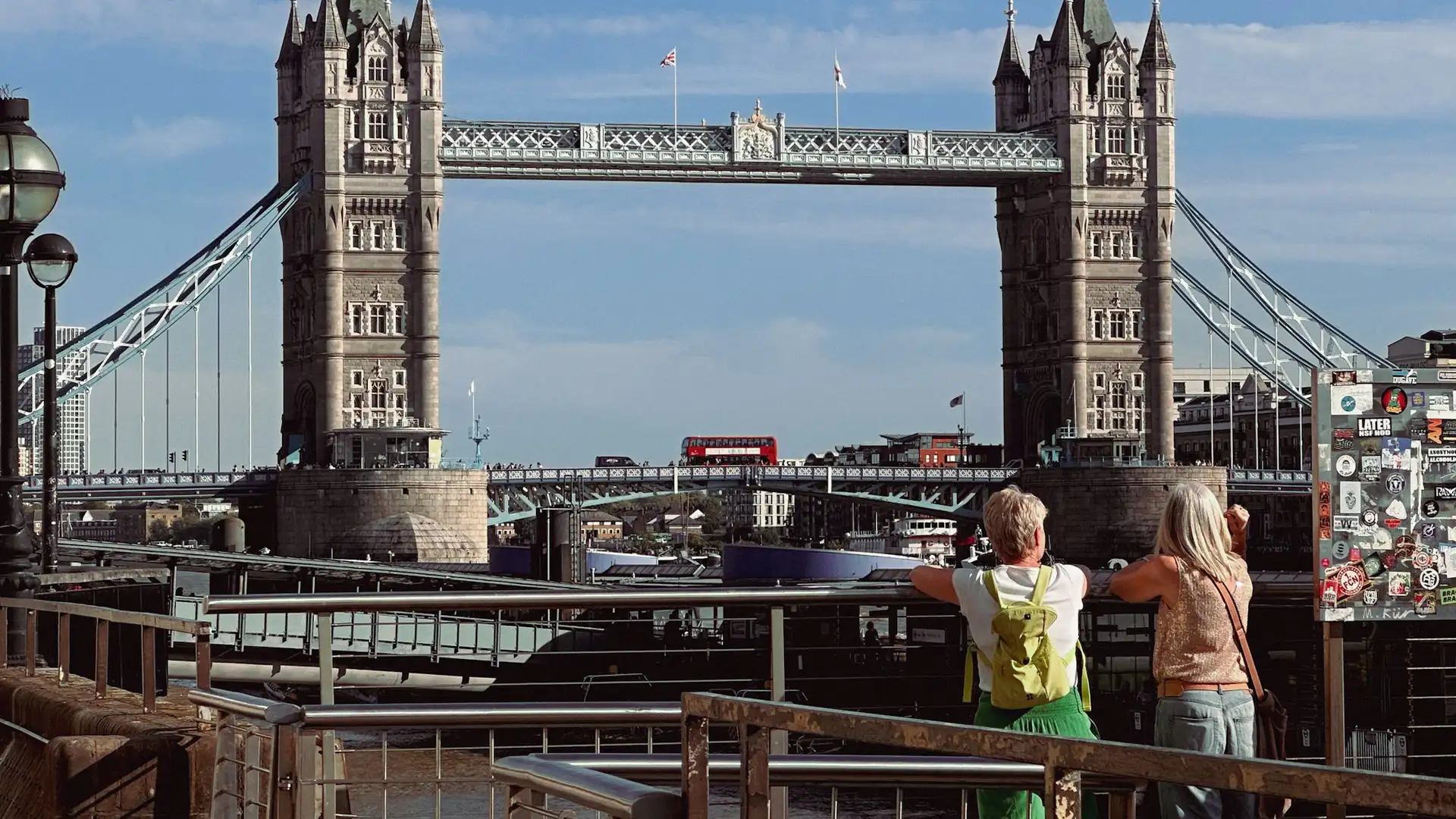
As a self-guided journey, the route connects places such as Cricklade, Lechlade, Oxford, Henley-on-Thames, Windsor, Hampton Court, Richmond, Westminster, and Greenwich while passing meadows, parkland, historic bridges, locks, and riverside settlements. The river remains a constant companion throughout, creating a route defined by continuity, history, and gradual change as the landscape evolves from countryside to city.
With largely flat terrain, straightforward navigation, and a wide range of places to stay along the route, the Thames Path offers one of England's most accessible long-distance walking journeys. The trail combines landscape, heritage, and everyday life, revealing how the River Thames has shaped communities, movement, and settlement across southern England for centuries.
Overview
Distance 184 miles / 294 km
Duration 14–20 days
Difficulty Easy-going
Start Thames Head, near Kemble, Gloucestershire
Finish Thames Barrier, Greenwich, London
Terrain Towpaths, riverside paths, grassy meadows, parkland, promenades, and quiet lanes
