
Exploring Lancashire
Lancashire stretches from the coastline and tidal landscapes of Morecambe Bay to the wooded valleys, open moorland and rolling hills of the Forest of Bowland National Landscape. Across the county, estuaries, farmland, rivers and historic settlements create a varied landscape for walking and independent exploration.
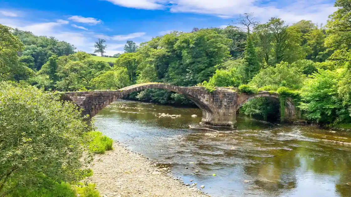
The Forest of Bowland National Landscape covers a broad area of upland countryside in eastern Lancashire, with gritstone fells, heather moorland, wooded valleys and traditional farming villages. The landscape around the Ribble Valley, including places such as Clitheroe and the countryside beneath Pendle Hill, provides opportunities for walks through rural landscapes, historic settlements and open hillsides.
To the west, Morecambe Bay and the Lancashire coastline bring together tidal flats, saltmarshes, coastal settlements and estuaries. Around Morecambe, Lancaster and the Lune Estuary, coastal and riverside paths provide opportunities to explore the changing landscapes of the Irish Sea. Further north, the Arnside & Silverdale National Landscape extends across the Lancashire and Cumbria border, protecting limestone hills, woodland, wetlands and coastal scenery.
Long-distance walking routes connect many of Lancashire's landscapes. The Ribble Way follows the River Ribble through countryside, villages and upland valleys, while the Lancashire Coastal Way explores the county's shoreline and estuaries. The Wyre Way follows the River Wyre through the Fylde and towards the Forest of Bowland, while the Pennine Way follows the Pennine uplands further east, connecting the wider region with England's long-distance walking network.
Away from the longer trails, Lancashire's market towns, villages, nature reserves and historic landscapes provide opportunities for shorter walks and slower exploration. From Lancaster and the Morecambe Bay coastline to Clitheroe, the Ribble Valley and the western Pennine moors, the county offers a wide range of places to stay while exploring its landscapes on foot.
Check availability
Select your dates to check current availability and prices.