
Walk the Yorkshire Wolds Way
The Yorkshire Wolds Way is a 79-mile / 127 km National Trail crossing the chalk landscapes of East Yorkshire and North Yorkshire, from Hessle beside the Humber Estuary to Filey on the North Sea coast. The route follows rolling hills, open farmland, wooded valleys, quiet villages and some of the most distinctive dry valleys in northern England.
Beginning at Hessle, close to the Humber Bridge, the trail follows the Humber Estuary westwards before turning inland towards North Ferriby and Welton. The landscape gradually rises from the estuary into the Yorkshire Wolds, with broad views across the Humber and surrounding countryside.
The route continues through the southern Wolds towards Brantingham and South Cave, crossing wooded slopes, farmland and open chalk hills. Further north, the trail reaches the countryside around Market Weighton and Goodmanham, where ancient routes and agricultural landscapes connect villages across the Wolds.
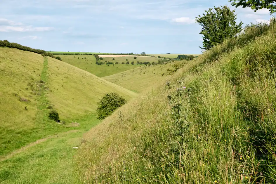
Beyond Market Weighton, the Yorkshire Wolds Way passes through the rolling countryside towards Londesborough and Millington. This central section is characterised by sweeping chalk valleys, open grassland and quiet rural landscapes, including the distinctive dry valleys around Millington Pastures.
The trail continues towards Thixendale, one of the best-known villages of the Yorkshire Wolds, surrounded by steep-sided valleys and chalk grassland. Nearby, the route passes through landscapes associated with the Yorkshire Wolds' ancient settlement history, including the area around Wharram Percy, the deserted medieval village.
Further north, the route crosses the countryside around Wintringham and Sherburn, with a mixture of open farmland, wooded slopes and elevated paths. The chalk hills gradually give way to views towards the Vale of Pickering and the North Yorkshire coast.
Approaching Filey, the Yorkshire Wolds Way crosses the final stretch of rolling countryside before reaching the coast at Filey Brigg. Here, the National Trail meets the Cleveland Way, completing its journey from the Humber Estuary to the North Sea.
Overview
Distance: 79 miles / 127 km
Typical duration: 5–7 walking days
Difficulty: Moderate
Start: Hessle, East Yorkshire
Finish: Filey, North Yorkshire
Terrain: Chalk hills, dry valleys, grassland, farmland, woodland paths, field tracks, minor roads and coastal paths.
Check availability
Select your dates to check current availability and prices.