
Wicklow Way
Forested ridges, glacial valleys, and a journey through Ireland's eastern uplands.
The Wicklow Way is a long-distance route running from Marlay Park in Dublin to Clonegal in County Carlow. Ireland's oldest waymarked walking trail, it links forests, mountains, glacial valleys, moorland, and rural countryside through a continuous journey across the Wicklow Mountains and the uplands of Eastern Ireland.
As a self-guided journey, the route connects places such as Enniskerry, Roundwood, Glendalough, Laragh, Tinahely, and Clonegal while passing through woodland, open mountain landscapes, river valleys, and historic settlements. Forest tracks, mountain paths, boardwalks, and quiet country lanes create a route defined by variety, steady progression, and changing scenery.
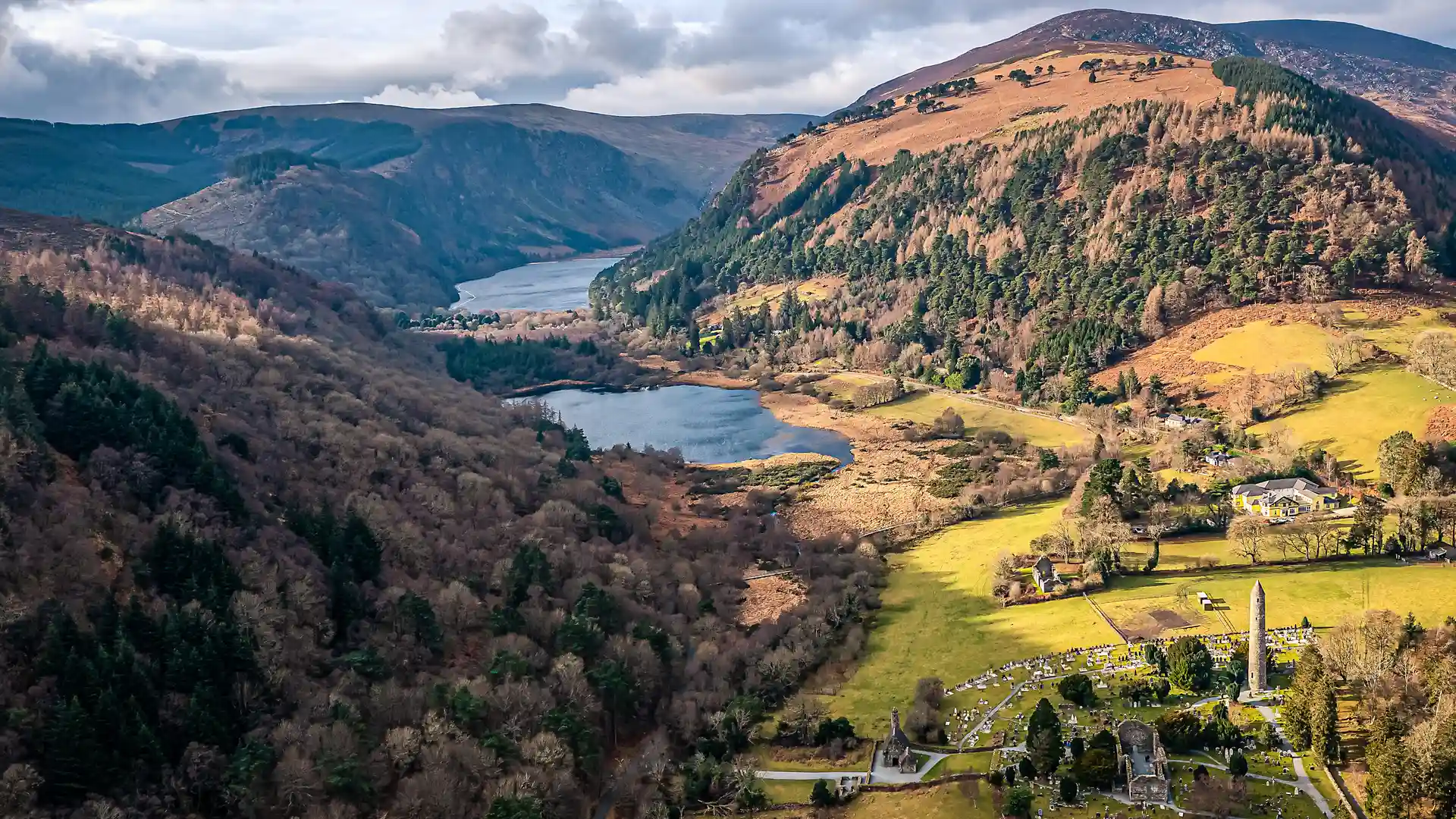
The character of the trail evolves gradually as it moves south. The wooded foothills beyond Dublin give way to the open ridges and broad valleys of the Wicklow Mountains, where moorland, lakes, and exposed uplands dominate the landscape. Around Glendalough, some of Ireland's most celebrated scenery combines with centuries of monastic history, before the route continues through quieter hills and farmland towards County Carlow.
With well-established waymarking, accessible stages, and a range of accommodation options along the route, the Wicklow Way offers one of Ireland's most popular long-distance walking journeys. The trail combines mountain scenery, forests, heritage, and rural landscapes, creating a rewarding progression from the edge of Dublin into the heart of Ireland's eastern countryside.
Overview
Distance 81 miles / 130 km
Duration 6–8 days
Difficulty Moderate
Start Marlay Park, Dublin
Finish Clonegal, County Carlow
Terrain Forest paths, mountain tracks, open moorland, boardwalks, quiet country lanes, and farmland
