
Western Way
Bog tracks, mountain valleys, and a journey through the landscapes of Ireland's Atlantic west.
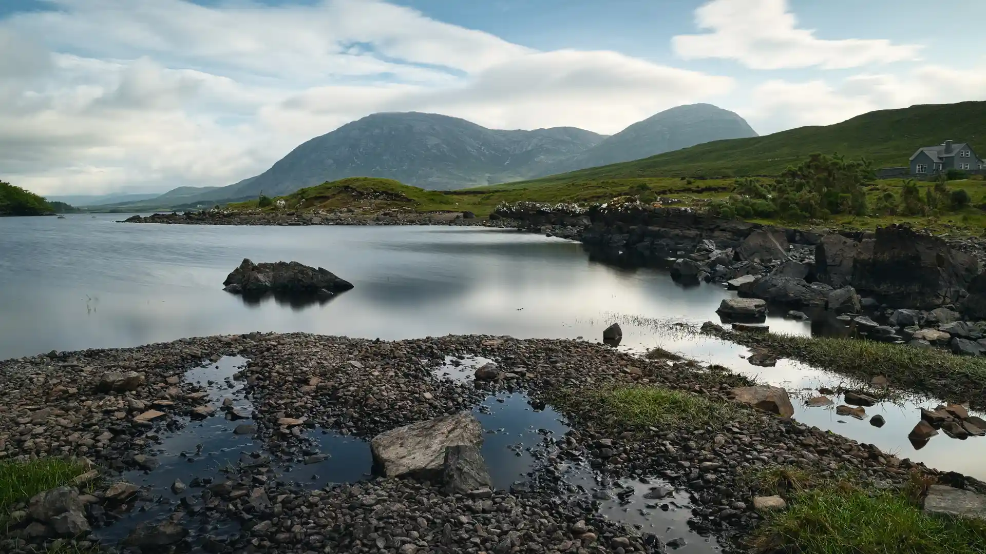
The Western Way is a long-distance route running from Oughterard in County Galway to Ballycastle in County Mayo. Crossing Connemara, the Nephin Beg Mountains, and the remote uplands of north Mayo, the trail links mountain valleys, lakes, moorland, and rural communities through one of Ireland's most distinctive inland walking journeys.
As a self-guided journey, the route connects places such as Oughterard, Maam Cross, Leenaun, Westport, Newport, Bangor, and Ballycastle while passing through blanket bog, mountain passes, forest tracks, and open upland landscapes. Wide loughs, exposed moorland, and long valleys create a route defined by space, distance, and a strong sense of remoteness.
With waymarked trails, quiet roads, and access to small settlements along the route, the Western Way offers an immersive journey through Ireland's western interior. The trail rewards steady progress and careful planning, providing a continuous passage through landscapes shaped by peat, stone, water, and Atlantic weather.
Overview
Distance 160 miles / 260 km
Duration 10–14 days
Difficulty Challenging
Start Oughterard, County Galway
Finish Ballycastle, County Mayo
Terrain Bog tracks, mountain paths, forest roads, minor roads, moorland, valleys, and small villages
