
Ulster Way
Coastlines, mountains, forests, and a journey around the landscapes of Northern Ireland.
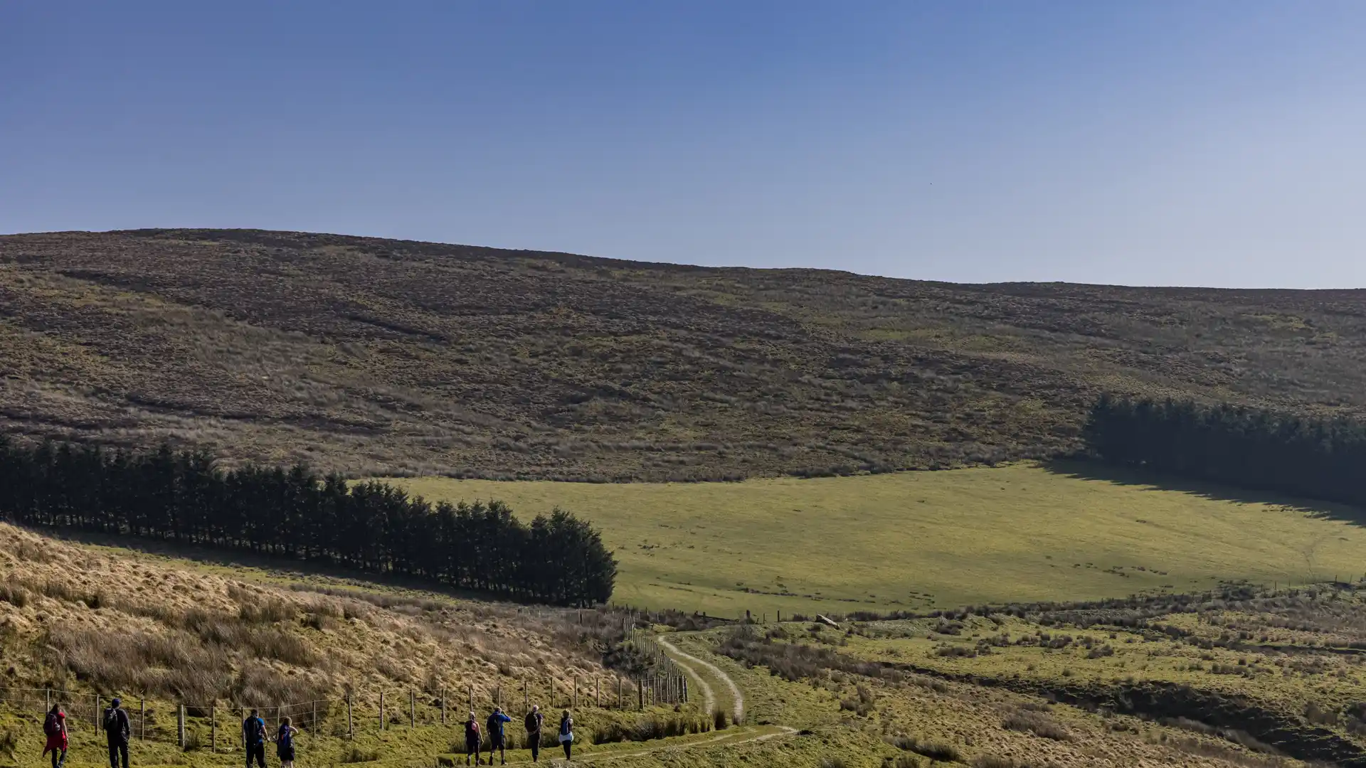
The Ulster Way is a long-distance circular route linking the major walking regions of Northern Ireland. Beginning and ending in Belfast, the trail follows the Antrim Coast, crosses the Sperrin Mountains, passes through the lakelands of Fermanagh, and continues through the Mourne Mountains before returning to the east coast, creating one of the most varied walking journeys in the British Isles.
As a self-guided journey, the route connects places such as Belfast, Ballycastle, Derry/Londonderry, Enniskillen, Newcastle, and Newry while passing through coastal cliffs, forests, mountain landscapes, farmland, and lake districts. Each region brings a distinct character, creating a route defined by continual change rather than a single landscape type.
With an extensive network of waymarked trails and countless opportunities to walk individual sections, the Ulster Way offers a comprehensive introduction to Northern Ireland's landscapes. Whether completed in stages or as a continuous journey, the route links coast, countryside, mountains, and settlements through a single connected walking network.
Overview
Distance 636 miles / 1,024 km
Duration 4–6 weeks
Difficulty Challenging
Start Belfast, County Antrim
Finish Belfast, County Antrim
Terrain Coastal paths, forest tracks, farmland trails, upland and mountain paths, minor roads, towns, and villages
