
Thames Path (Cotswolds Section)
Meadows, stone villages, and a journey along the beginnings of England's most familiar river.
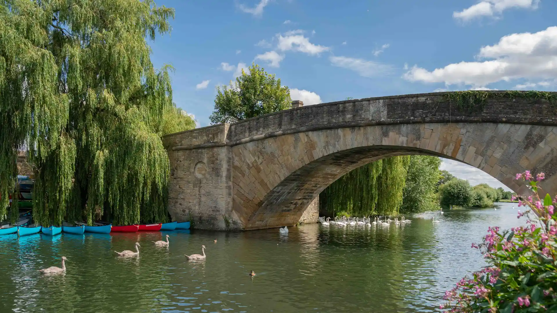
The Thames Path (Cotswolds Section) follows the River Thames from its source at Thames Head near Kemble to the historic city of Oxford. Crossing the landscapes of Gloucestershire and Oxfordshire, the route links water meadows, farmland, riverside settlements, and open countryside while tracing the earliest stages of England's most famous river.
As a self-guided journey, the route connects places such as Kemble, Cricklade, Lechlade, and Oxford while passing through meadows, grazing land, quiet villages, and historic river crossings. In its upper reaches, the Thames remains narrow and understated, gradually widening as it moves east through the countryside and into the Thames Valley.
With largely flat terrain, straightforward navigation, and a range of places to stay along the route, this section of the Thames Path offers one of England's most accessible long-distance walking journeys. The trail combines rural landscapes, historic settlements, and riverside walking, revealing the Thames at its most peaceful and least developed.
Overview
Distance 89 miles / 143 km
Duration 6–8 days
Difficulty Easy-going
Start Thames Head, near Kemble, Gloucestershire
Finish Oxford, Oxfordshire
Terrain Meadows, riverside paths, towpaths, farmland tracks, and quiet lanes
