
Northumberland Coast Path
Wide beaches, island views, and a journey along England's northern shoreline.
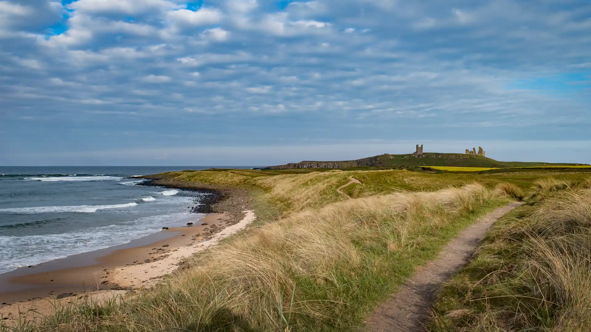
The Northumberland Coast Path follows the coastline of Northumberland from Cresswell in the south to Berwick-upon-Tweed near the Scottish border. Passing through the Northumberland Coast National Landscape, the route links wide beaches, dune systems, coastal villages, historic harbours, and some of England's most distinctive coastal scenery.
As a self-guided journey, the route connects places such as Amble, Alnmouth, Craster, Seahouses, Bamburgh, and Holy Island while passing castles, nature reserves, and wildlife-rich coastal landscapes. Long stretches of open shoreline, expansive views across the North Sea, and regular glimpses of offshore islands create a route defined by space, light, and a strong sense of place.
With generally gentle terrain, clear waymarking, and a range of places to stay along the coast, the Northumberland Coast Path offers one of England's most accessible long-distance coastal routes. The trail combines landscape, history, and coastal culture, linking fishing villages, historic landmarks, and protected shoreline through a continuous journey on foot.
Overview
Distance 63 miles / 101 km
Duration 4–6 days
Difficulty Easy-going
Start Cresswell, Northumberland
