
Icknield Way
Chalk ridges, ancient paths, and a journey along one of Britain's oldest route corridors.
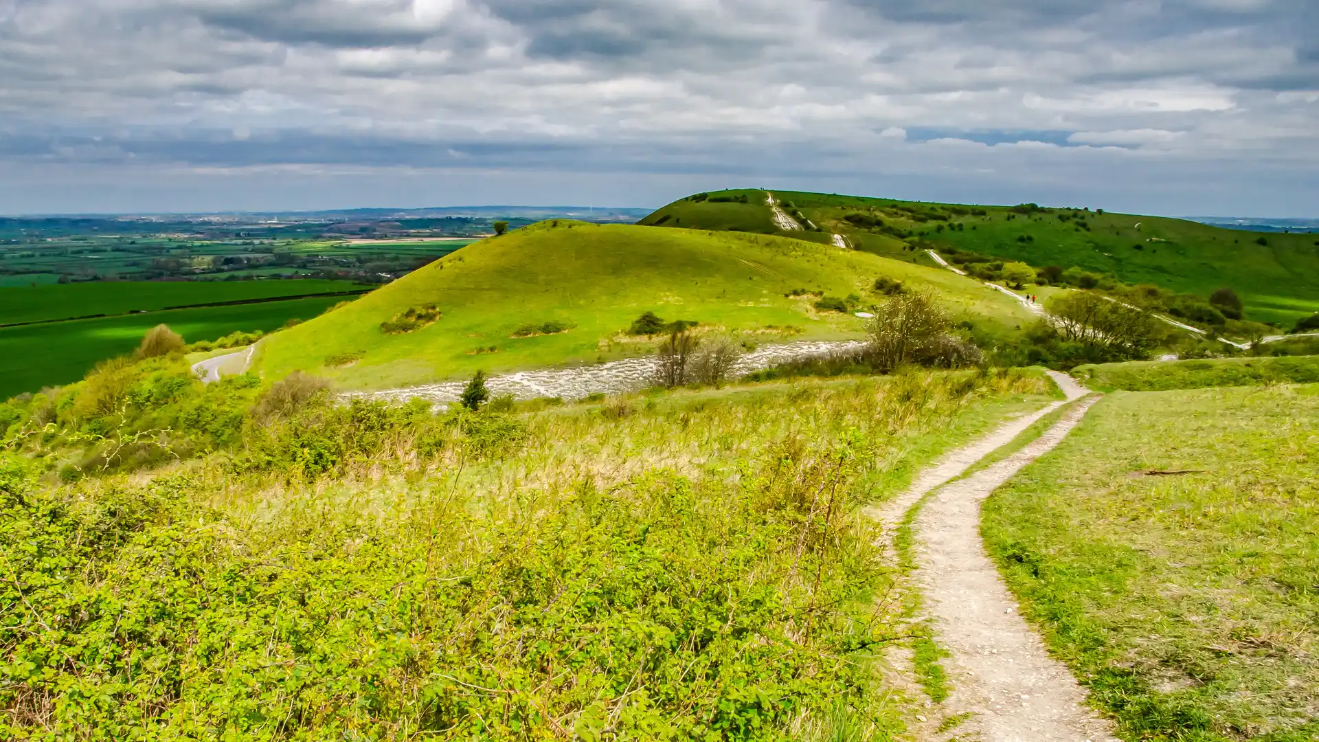
The Icknield Way is a long-distance route running from Ivinghoe Beacon in Buckinghamshire to Knettishall Heath in Suffolk. Following one of Britain's oldest known route corridors, the trail links the Chiltern Hills, Cambridgeshire countryside, and the Brecks through a continuous journey across chalk downs, farmland, woodland, and heathland landscapes.
As a self-guided journey, the route connects places such as Tring, Royston, Newmarket, Thetford, and Knettishall Heath while passing ancient trackways, hillforts, burial mounds, and long-established rural landscapes. Chalk ridges, green lanes, bridleways, and open countryside create a route defined by continuity and a strong connection to England's historic landscape.
With generally gentle terrain, well-established rights of way, and access to settlements throughout the journey, the Icknield Way offers an accessible long-distance walk across southern and eastern England. The trail combines history, landscape, and steady progression, linking several distinct regions through a route that has guided movement across the countryside for centuries.
Overview
Distance 110 miles / 177 km
Duration 7–9 days
Difficulty Moderate
Start Ivinghoe Beacon, Buckinghamshire
Finish Knettishall Heath, Suffolk
Terrain Chalk ridge paths, bridleways, green lanes, farmland tracks, woodland paths, minor roads, towns, and villages
