
England Coast Path (South East Sections)
Chalk cliffs, tidal shores, and a journey along England's Channel coast.
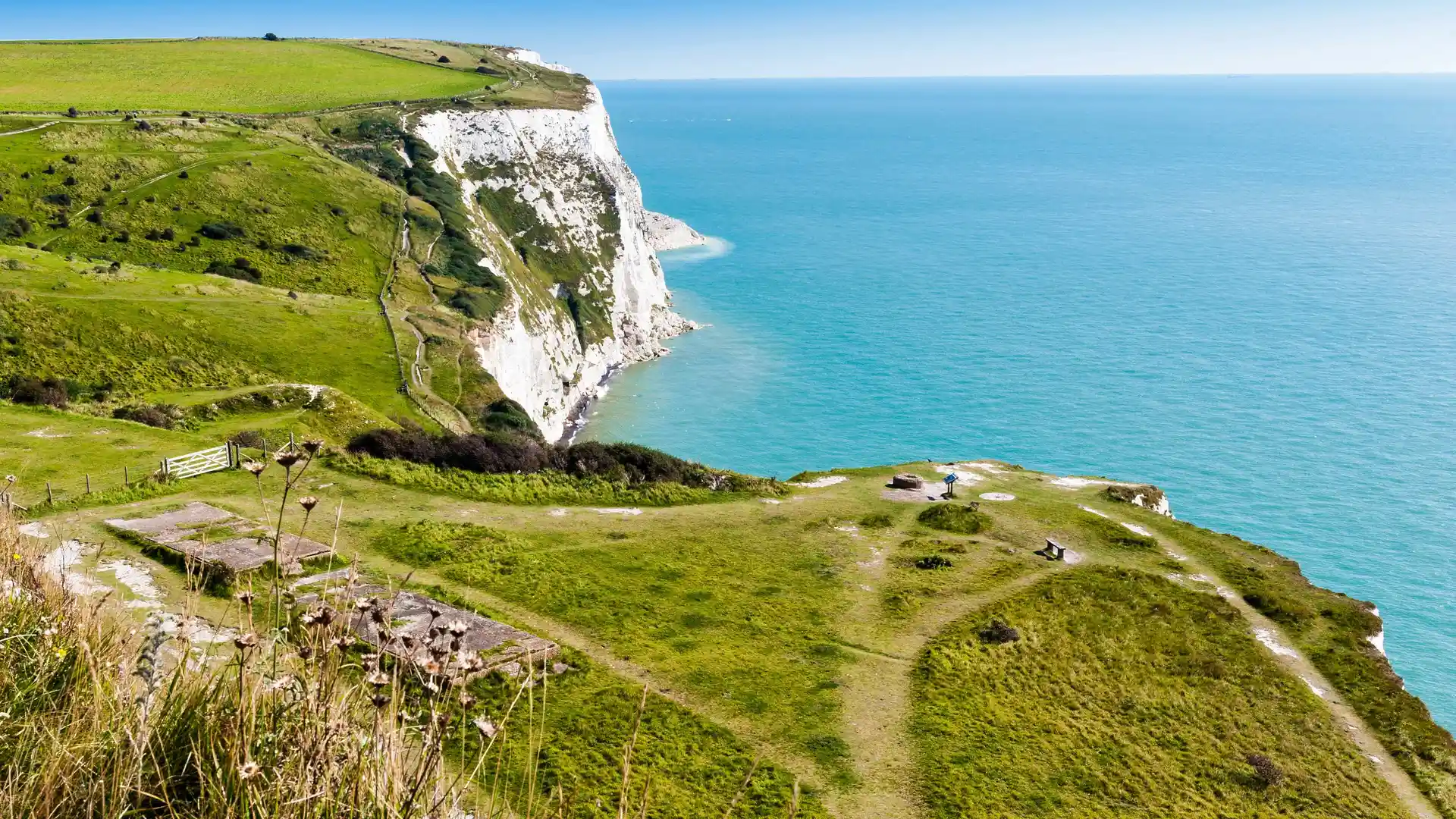
The England Coast Path (South East Section) follows the coastline of West Sussex, East Sussex, and Kent, linking some of southern England's most distinctive coastal landscapes. Running from Shoreham-by-Sea to the Isle of Thanet and the Thames Estuary, the route passes through chalk cliffs, beaches, estuaries, harbours, nature reserves, and historic seaside towns along the English Channel.
As a self-guided journey, the route connects places such as Shoreham-by-Sea, Eastbourne, Rye, Folkestone, Dover, Deal, and Margate while passing landmarks including the Seven Sisters, Beachy Head, and the White Cliffs of Dover. Clifftop paths, tidal landscapes, coastal settlements, and open sea views create a route defined by continual change along the meeting point of land and sea.
With generally accessible terrain, clear waymarking, and a wide range of places to stay along the coast, the route offers one of England's most varied long-distance coastal journeys. The trail combines natural landscapes, maritime heritage, and historic communities, linking some of the country's most celebrated coastal scenery through a continuous walk beside the sea.
Overview
Distance 300+ miles / 480+ km
Duration 20–25 days
Difficulty Moderate
Start Shoreham-by-Sea, West Sussex
Finish Isle of Thanet / Thames Estuary, Kent
Terrain Clifftop paths, promenades, beach sections, estuary tracks, farmland, and seaside towns
