
Dales High Way
High moors, limestone dales, and a journey across the Pennines.
The Dales High Way is a long-distance route running from Saltaire in West Yorkshire to Appleby-in-Westmorland in Cumbria. Following a high-level line across the Pennines, the trail links moorland, limestone landscapes, upland ridges, and rural settlements through a continuous crossing of northern England. Unlike many routes that remain in valley bottoms, the Dales High Way frequently seeks higher ground, creating a journey defined by open views, elevation, and changing upland scenery.
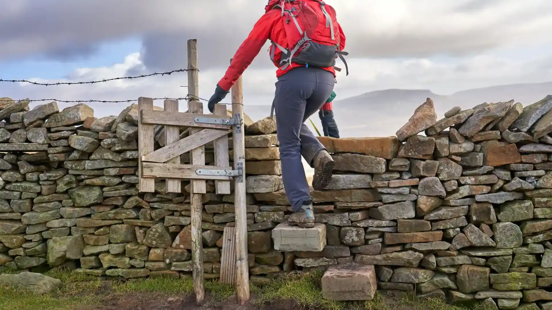
As a self-guided journey, the route connects places such as Saltaire, Ilkley, Grassington, Horton-in-Ribblesdale, Dent, and Appleby while passing through the Yorkshire Dales and the western Pennines. Heather moorland, limestone pasture, dry-stone walls, and broad ridges create a route shaped by landscape rather than settlement, with long stretches of open country between villages.
The character of the route changes gradually as it moves west. Open moorland above Airedale gives way to the limestone scenery of the Yorkshire Dales, where valleys, scars, and high pasture dominate the landscape. Around Ribblesdale and Dentdale, the terrain becomes more expansive and remote before softening into the greener farmland and river valleys of the Eden Valley.
With a mixture of upland paths, moorland tracks, and countryside routes, the Dales High Way offers a rewarding long-distance walk for those seeking a quieter alternative to some of northern England's better-known National Trails. The route combines broad landscapes, rural character, and a strong sense of progression across the Pennines.
Overview
Distance 90 miles / 145 km
Duration 7–10 days
Difficulty Challenging
Start Saltaire, West Yorkshire
Finish Appleby-in-Westmorland, Cumbria
Terrain High moorland, limestone dales, upland ridges, pasture, and river valleys
