
Walk the Limestone Way
The Limestone Way is a 46-mile long-distance walking route from Castleton in the Peak District National Park to Rocester in Staffordshire. The trail crosses the limestone landscapes of the White Peak before continuing south through the countryside of the Derbyshire Dales and towards the River Dove.
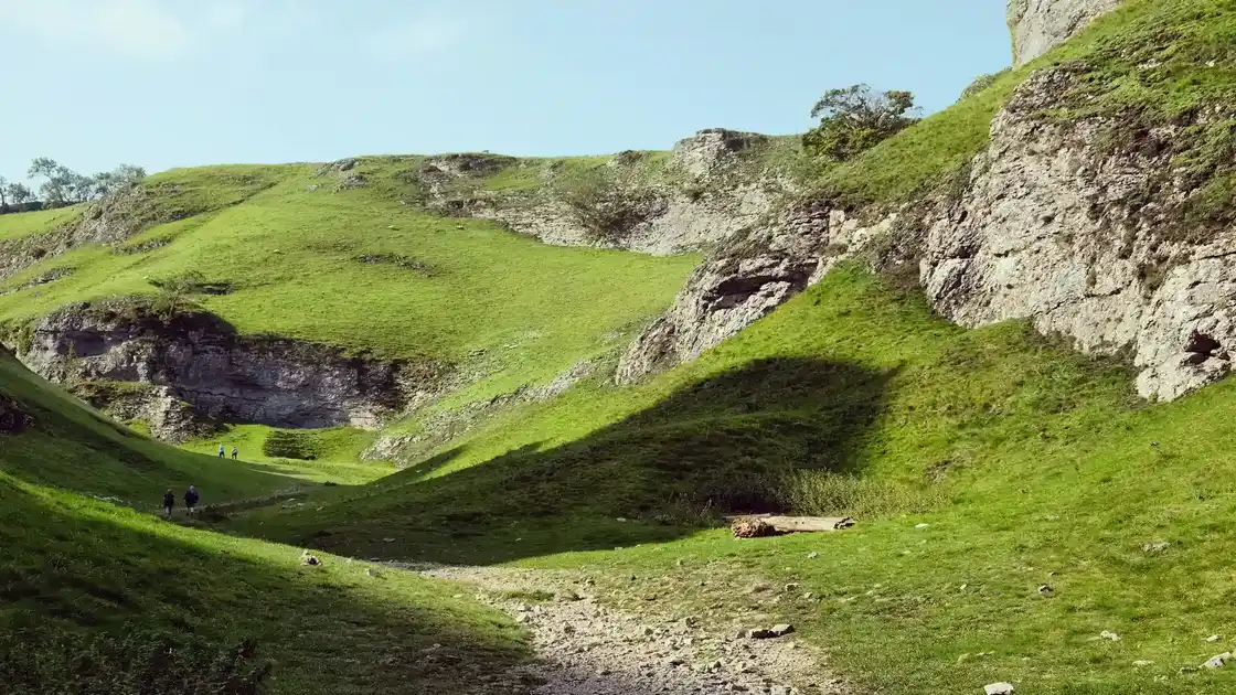
From Castleton, the Limestone Way climbs through Cave Dale beneath Peveril Castle. The route leaves the village through a dramatic limestone landscape before continuing across fields and tracks towards the countryside south of the Hope Valley.
The trail continues through Hay Dale and Peter Dale before passing beneath the former railway viaducts near Miller's Dale. Limestone dales, dry-stone walls and rolling farmland characterise this northern part of the route.
Beyond the dales, the Limestone Way continues through the White Peak towards Flagg and Monyash. This is classic Peak District limestone country, with enclosed fields, traditional villages and a network of old tracks connecting farms and settlements.
From Monyash, the route heads towards Bradford Dale and the countryside around Youlgreave. The trail follows the valley before continuing across fields towards Robin Hood's Stride and the rocky landscapes around Cratcliffe.
The Limestone Way then continues south through the countryside around Winster and Bonsall. Old lanes, field paths and limestone landscapes lead towards Grangemill as the route gradually leaves the central White Peak behind.
Beyond Grangemill, the trail crosses the High Peak Trail and continues through countryside towards Brassington, Ballidon and Parwich. Villages, limestone outcrops and enclosed farmland remain characteristic of the landscape as the route approaches the southern edge of the Peak District.
From Parwich, the Limestone Way continues south through the countryside towards Thorpe and the valley of the River Dove. The route crosses a mixture of field paths, lanes and rural tracks as it moves beyond the Peak District towards Staffordshire.
The final section continues through rolling countryside towards Ellastone before following the River Dove towards Rocester. The Limestone Way finishes in the village, where it meets the Staffordshire Way.
Castleton, Monyash, Youlgreave and the villages of the White Peak provide useful bases for exploring the northern and central sections of the route, while the countryside around Parwich and the Dove Valley provides opportunities for shorter walks further south. Although the complete Limestone Way can be walked over several days, its succession of villages and limestone landscapes also makes it well suited to shorter sections and stay-based walking breaks.
Overview
Distance: 46 miles / 74 km
Typical duration: 3–4 walking days
Difficulty: Moderate
Start: Castleton, Derbyshire
Finish: Rocester, Staffordshire
Terrain: Limestone dales, field paths, rocky tracks, rural lanes, farmland, riverside paths and frequent stiles
Check availability
Select your dates to check current availability and prices.