
Walk the Hebridean Way
The Hebridean Way is a 156-mile / 252 km long-distance trail from Vatersay in the south of the Outer Hebrides to Stornoway on the Isle of Lewis. Crossing ten islands using paths, tracks, quiet roads, causeways and two ferry journeys, the route provides a continuous journey north through one of Scotland's most distinctive island landscapes.
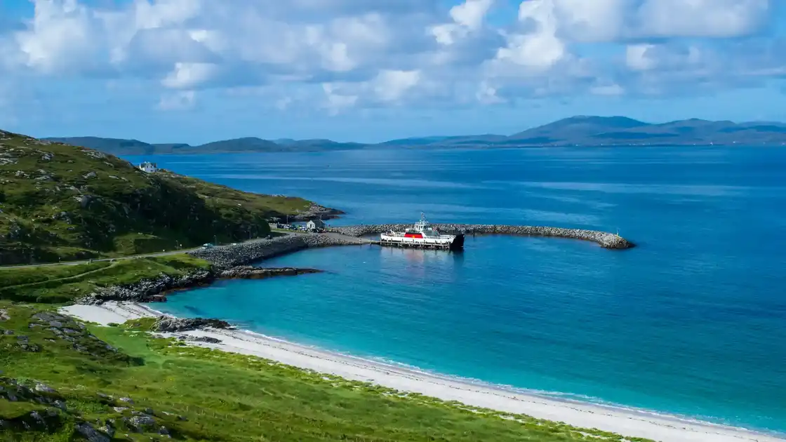
Beginning on Vatersay, the trail heads north across the island before crossing the causeway to Barra. Atlantic beaches, rocky hills and crofting landscapes characterise the opening stages as the route crosses Barra towards Ardmhor and the ferry to Eriskay.
From Eriskay, the Hebridean Way continues across a causeway to South Uist, beginning a long journey through the Uists. The route passes extensive areas of machair and Atlantic coastline, with beaches to the west and mountains, lochs and peatland shaping the interior of the islands.
Causeways link South Uist with Benbecula and onwards towards North Uist, allowing the trail to continue through a landscape of lochs, moorland, crofting settlements and low-lying coastal country. The changing relationship between land and water is one of the defining characteristics of this central section of the Hebridean Way.
From North Uist, the route reaches Berneray before crossing by ferry to Leverburgh on Harris. The landscape changes markedly here, with rugged mountains, rocky coastline and broad Atlantic beaches replacing much of the flatter country of the Uists.
The trail continues north through Harris, passing the white sands and turquoise waters around Luskentyre before crossing increasingly mountainous country towards Tarbert. This section passes through the South Lewis, Harris and North Uist National Scenic Area, recognised for its exceptional combination of mountains, coast, islands, beaches and machair.
Beyond Tarbert, the route crosses into Lewis, where open moorland, lochs and scattered settlements dominate the landscape. The trail continues north through the island's interior before approaching the more settled countryside around Stornoway.
The Hebridean Way finishes at Stornoway, the largest town in the Outer Hebrides, completing a south-to-north journey through the island chain from the Atlantic beaches of Vatersay to the Isle of Lewis.
Overview
Distance: 156 miles / 252 km
Typical duration: 10–14 walking days
Difficulty: Challenging
Start: Vatersay, Outer Hebrides
Finish: Stornoway, Isle of Lewis
Terrain: Beaches, machair, moorland paths, mountain tracks, minor roads, causeways, coastal paths and island settlements
Check availability
Select your dates to check current availability and prices.