
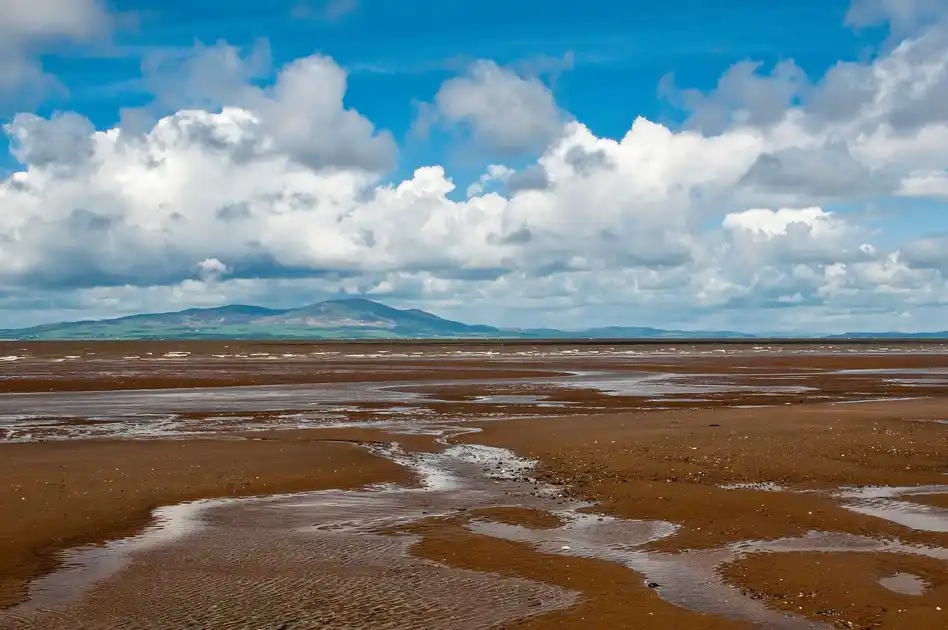
Exploring the Solway Coast National Landscape
The Solway Coast National Landscape extends across approximately 115 km² of northern Cumbria, protecting a coastal landscape of tidal mudflats, saltmarshes, sand dunes, raised peat bogs and low-lying farmland. Overlooking the Solway Firth towards southern Scotland, the protected area stretches from the estuary near Rockcliffe to the coastline north of Maryport.
The eastern section includes the broad tidal flats and saltmarshes around Bowness-on-Solway, where the River Eden enters the Solway Firth. The estuary supports internationally important populations of wintering wildfowl and wading birds, while nearby Campfield Marsh contains wet grassland, reedbeds and raised bog habitats. Small villages and quiet lanes provide access to the coastline and surrounding countryside.
Walking is one of the main ways to explore the area. The Hadrian's Wall Path begins or ends at Bowness-on-Solway, connecting the Solway estuary with the Roman frontier and the landscapes of northern England. The King Charles III England Coast Path is also being developed along the Solway coastline, linking coastal settlements, beaches and estuary landscapes. Shorter local routes provide opportunities to explore individual nature reserves, villages and stretches of shoreline.
Further west, the coastline around Silloth and Allonby includes sandy beaches, dunes and open views across the Solway Firth. Silloth provides a useful base for exploring the central coast, while Allonby offers access to the beach and coastal walking towards Maryport. Inland, the landscape includes agricultural land, small settlements and important wetland habitats.
The Solway Coast also has a significant historic landscape. At Bowness-on-Solway, the western end of Hadrian's Wall forms part of the Frontiers of the Roman Empire World Heritage Site. Elsewhere, places such as Holme Cultram Abbey at Abbeytown reflect the area's medieval history, while nature reserves including Finglandrigg Wood protect habitats associated with the wider Solway Plain.
Overview
Landscape: Estuary, saltmarsh, mudflats, sand dunes, beaches, raised peat bogs and farmland
County: Cumbria
Region: North West England
Country: England
Key Trail: Hadrian's Wall Path
Also Connected: King Charles III England Coast Path
Best For: Coastal walking, wildlife, birdwatching, nature reserves, beaches and Roman heritage
Check availability
Select your dates to check current availability and prices.