
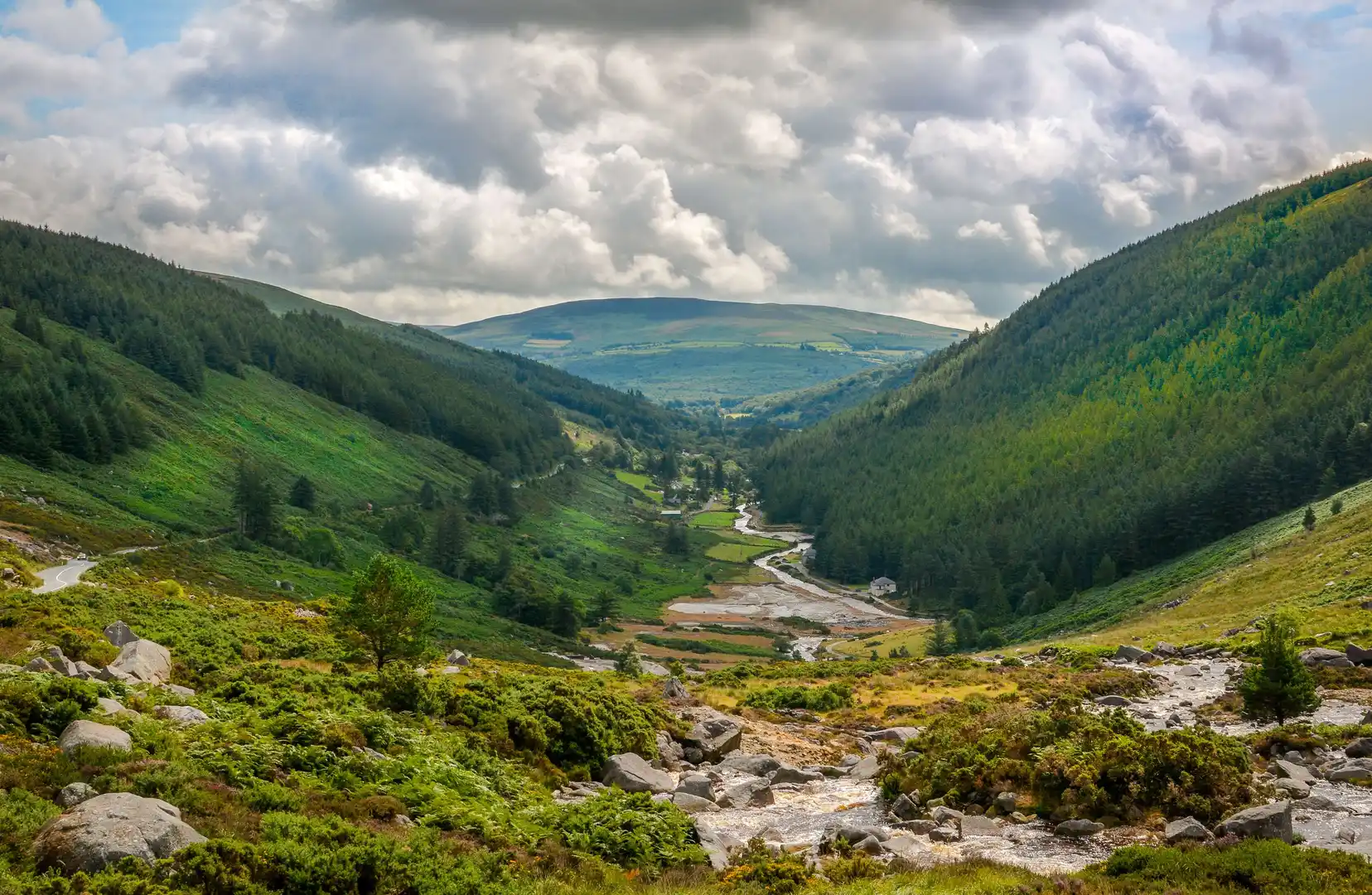
Granite uplands, forested slopes, and glacial valleys south of Dublin.
County Wicklow is a county of granite mountains, upland heath, and wooded valleys in eastern Ireland. Walking routes cross Wicklow Mountains National Park and follow the Wicklow Way, linking places such as Bray, Enniskerry, Roundwood, Glendalough, Laragh, and Tinahely across ridgelines, forest tracks, and valley floors between the Irish Sea coast and the interior hills.
Much of the terrain is firm but varied underfoot. Forest roads, upland tracks, boardwalks, open moorland paths, and minor roads allow steady progress, with regular climbs and descents between valleys rather than long continuous ascents. Ground can be rocky or wet on higher peat and heath sections.
The landscape shifts between areas. The northern edge near Bray and Enniskerry includes wooded foothills and managed estates, while central Wicklow rises into open upland around Lugnaquilla and the Glenmalure valley. Around Glendalough the ground becomes more enclosed, with lakes, woodland, and steep-sided glacial valleys. Toward the south and west, hills give way to lower farmland and scattered settlements.
Towns and villages are spaced along valley routes and the coastal fringe, creating practical access points for day walks and longer point-to-point routes, with quieter and more remote stretches across the upland interior.
Trails and Routes Through County Wicklow
Wicklow Way
Long-distance route running north–south from Bray to Clonegal, crossing the Wicklow Mountains through forest, open hillside, and valley tracks.
Glendalough Valley Paths
Waymarked routes around the Upper and Lower Lakes using woodland paths, lakeshore tracks, and hillside trails.
Sugar Loaf and Bray Head Paths
Short hill routes on the coastal edge with steeper climbs and open views across the Irish Sea and Dublin Bay.
Glenmalure and Lugnaquilla Tracks
Upland paths and forest roads through broad valleys and higher mountain ground in central and southern Wicklow.
Walking Character
- Granite mountains and rounded summits
- Forest tracks and managed woodland
- Heath and peat moorland
- Glacial valleys and lakes
- Regular climbs and descents
- Villages concentrated in valleys and along the coast
- Predominantly inland and upland terrain
Check availability
Select your dates to check current availability and prices.