.webp)
From Minehead onto Exmoor
The South West Coast Path (Somerset & Exmoor Section) begins at Minehead in Somerset and heads west towards the coast of Exmoor.
Leaving the town, the route climbs onto higher ground above the Bristol Channel and enters Exmoor National Park.
This first section introduces the steep coastal terrain that characterises much of the route through Exmoor, with the path repeatedly climbing and descending as it follows the coastline.
Where Exmoor meets the coast
Along this section, the landscapes of Exmoor extend directly towards the Bristol Channel.
Open moorland, heathland and grassland occur above the coast, while wooded valleys descend between the higher ground towards the sea.
The combination of moorland and coastline distinguishes this section from many other parts of the South West Coast Path.
Through Porlock and Porlock Weir
West of Minehead, the route descends towards Porlock and the low-lying landscape around Porlock Bay.
The trail then continues towards Porlock Weir, a small harbour settlement on the western side of the bay.
Beyond Porlock Weir, the coast becomes steeper again as the path returns to the wooded slopes and high ground of Exmoor.
Wooded combes and high cliffs
The Exmoor coast is crossed by a series of steep valleys, or combes, running from the higher ground towards the sea.
These create repeated changes in elevation as the trail descends into wooded valleys before climbing back towards the cliff tops.
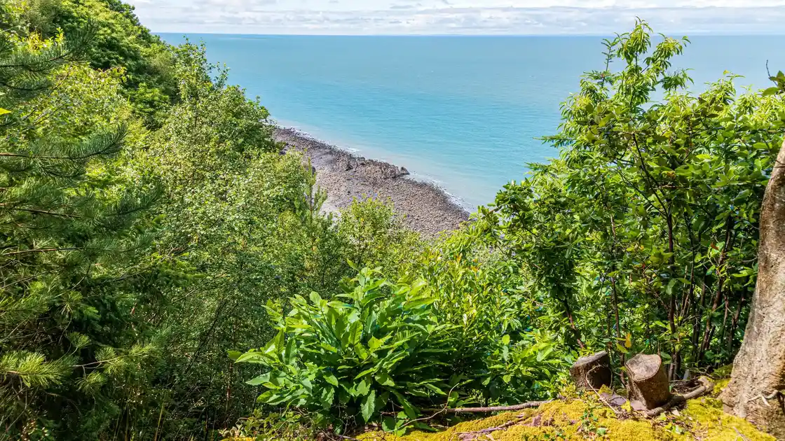
Woodland covers significant parts of the slopes, while higher sections provide views across the Bristol Channel and towards the Welsh coast.
Towards Lynmouth and Lynton
Continuing west, the trail crosses some of the highest coastal ground on the South West Coast Path before approaching Lynmouth.
The landscape remains a mixture of cliffs, woodland, moorland and deeply cut valleys as the route reaches the western side of Exmoor.
Lynmouth lies at the mouth of the East and West Lyn rivers, with Lynton on higher ground above the coast.
From Lynton to Combe Martin
Beyond Lynton, the South West Coast Path continues west through the coastal landscape of North Devon.
The route crosses further high ground, steep valleys and exposed coastal sections as it progresses towards Combe Martin.
Combe Martin marks the end of this 50-mile section and the continuation point for walkers following the South West Coast Path further into Devon.
Walking from Minehead to Combe Martin
This section of the South West Coast Path covers approximately 50 miles between Minehead and Combe Martin.
Repeated climbs and descents are a defining feature of the route, particularly where valleys and wooded combes interrupt the high coastal ground.
Walking surfaces include cliff-top paths, woodland tracks, moorland paths, lanes and sections through coastal settlements.