Clifftop paths, hidden coves, and long views along Wales’s western coast
The Pembrokeshire Coast Path traces the full length of the county’s shoreline from St Dogmaels in the north to Amroth in the south, following cliffs, beaches, and estuaries along the outer edge of West Wales. For those exploring the coast through self-guided travel, the route links headlands, harbours, and small seaside places into a continuous walking line shaped by tide, weather, and the steady presence of the sea.
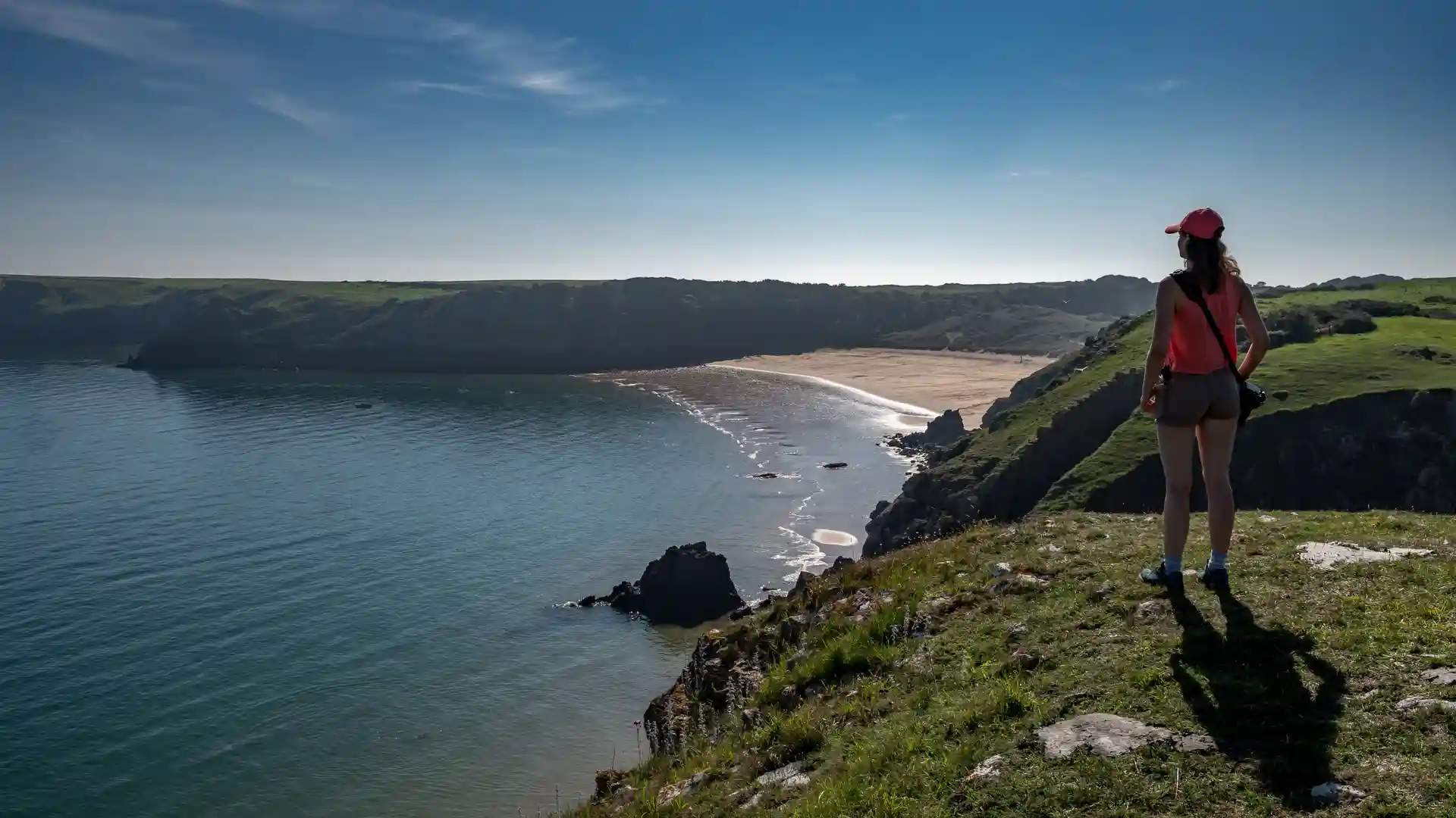
Walking here is defined less by distance and more by rhythm. The path rarely stays level for long, rising and falling with each headland before dropping to sheltered coves and broad sandy bays. Progress is measured in climbs and descents, with each turn revealing a new stretch of coastline — rocky points, grazing fields, or open water stretching towards the horizon.
Much of the route passes through Pembrokeshire Coast National Park, where cliffs are cut by narrow valleys and offshore islands sit just beyond the surf. Seabirds circle above the headlands, seals gather below the rocks, and the wind carries the sound of waves long before the sea comes into view. The landscape feels exposed and elemental, shaped by Atlantic weather and the slow erosion of stone.
Towns and villages appear at natural intervals — places such as Newport, St Davids, Solva, Broad Haven, and Tenby — offering pauses between longer stretches of open coast. Harbours, chapels, and small streets give the walk a human scale, while reinforcing the long connection between settlement and sea.
As the trail turns south, cliffs soften into dunes and wider beaches before the path finishes quietly at Amroth. The overall impression is one of continuity: a sustained journey along the meeting point of land and water, where light, tide, and weather change the character of the coast from hour to hour.
For many walkers, the appeal of the Pembrokeshire Coast Path lies in that variety — a landscape that feels constantly shifting, yet always connected by the line of the shore.
Trail Overview
Distance
Approximately 186 miles / 299 km
Typical time on foot
12–17 days
Start
St Dogmaels
Finish
Amroth
Terrain
Clifftop paths, grassy tracks, beaches, dunes, estuaries, and short inland sections
