Pembrokeshire – Cliffs, Beaches, and Coastal Headlands
Indented Atlantic coastline, low hills, and farmland along Wales’s western edge.
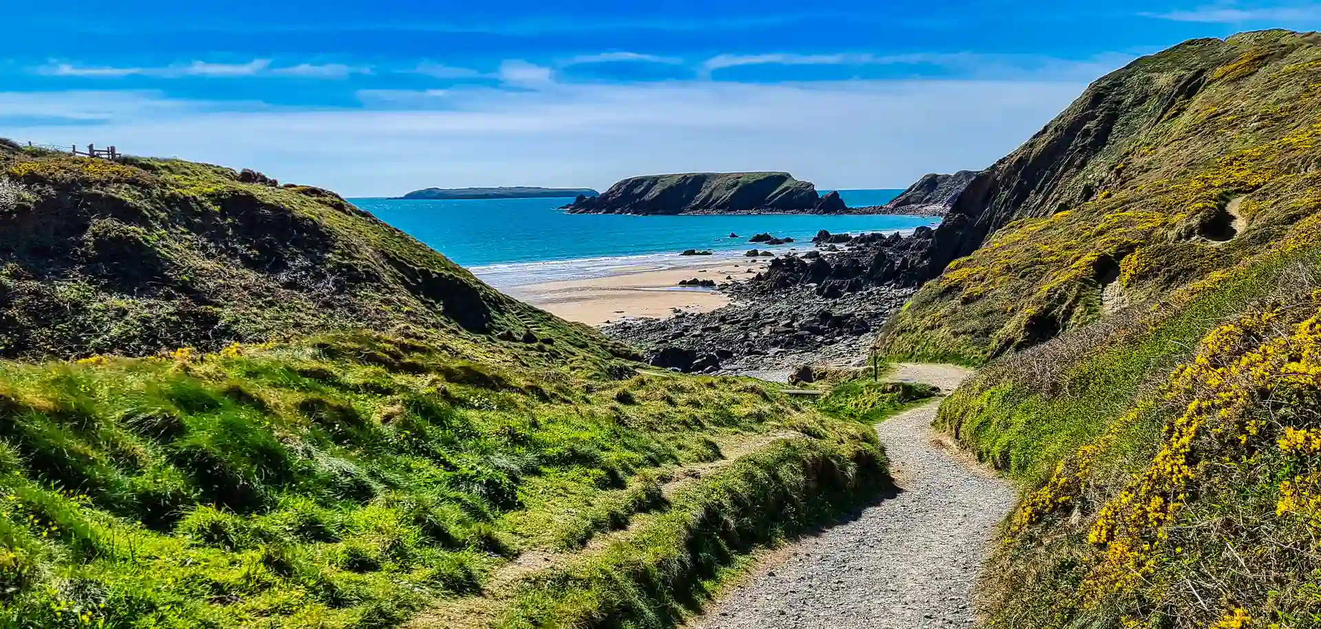
Pembrokeshire is a coastal county of cliffs, beaches, low uplands, and farmland in west Wales. Walking routes cross Pembrokeshire Coast National Park and follow the Pembrokeshire Coast Path, linking places such as St Davids, Fishguard, Newport, Cardigan, Tenby, and Saundersfoot across clifftop tracks, sandy coves, and rolling inland lanes between Cardigan Bay and the Celtic Sea.
Much of the terrain is firm but undulating underfoot. Coast paths, field-edge footpaths, minor roads, dunes, and grassy headlands allow steady progress, with frequent short climbs and descents as the route drops to sea level at coves and rises again onto headlands. Surfaces are generally compact soil or grass, with rocky and uneven sections near cliffs.
The landscape shifts between areas. The north coast around St Davids and Fishguard includes higher cliffs and exposed headlands, while central sections become more pastoral with farmland and low hills. Toward the south around Tenby and Saundersfoot, the coastline opens into broader beaches and sheltered bays with gentler gradients inland.
Towns and villages are spaced along the coast and estuaries, creating regular access points for day walks and longer point-to-point routes, with quieter stretches between settlements along more remote headlands.
Trails and Routes Through Pembrokeshire
Pembrokeshire Coast Path
National Trail running the full length of the county coastline between St Dogmaels and Amroth using clifftop, beach, and headland paths with repeated short ascents and descents.
Preseli Hills Paths
Inland hill routes across rounded uplands and open moorland with firmer tracks and quieter terrain.
Gwaun Valley and Inland Lanes
Low-level walking on minor roads, woodland paths, and farmland tracks through sheltered inland valleys.
Dune and Estuary Routes
Flat walking around estuaries and beaches near Newport, Tenby, and Saundersfoot on sand and level shoreline ground.
Walking Character
- Cliffs, coves, and sandy beaches
- Rolling farmland and low hills
- Repeated short coastal climbs
- Grass, soil, and rocky paths
- Minor roads and field tracks inland
- Settlements spaced along the shoreline
- Predominantly coastal terrain