
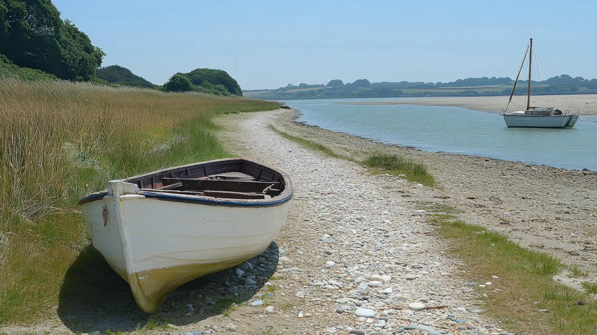
Seawalls, Saltmarsh Creeks, and Open Estuary Skies
Mersea Island is a tidal island on the Essex coast where self-guided travel, walking routes, open landscapes, and quiet coastal places follow the edge of the Colne Estuary. Reached by the Strood causeway at low tide, the island is shaped by seawalls, saltmarsh, mudflats, and open shoreline, with paths linking West Mersea, East Mersea, and the surrounding coast across level ground beside the water.
The settlements are spread between West Mersea’s harbour and beach and the quieter farmland and marshland of East Mersea. Seawall paths and minor lanes run around much of the island’s edge, allowing continuous walking beside the estuary and across grazing marsh and coastal grassland.
Mersea Island offers useful services for walkers. There are shops, cafés, pubs, places to eat and drink, accommodation, and bus links in West Mersea, making it a practical base for day walks or short stays along the coast.
Beyond the villages, paths continue around the shoreline and along the seawalls toward open marsh and creeks, with wide skies and long views across the estuary toward Brightlingsea and the mainland. Terrain remains flat and firm underfoot, with grassy embankments and compacted tracks suited to steady coastal walking.
Check availability
Select your dates to check current availability and prices.