
Exploring Rutland
Rutland lies in The Midlands, bordered by Leicestershire to the north and west, Lincolnshire to the north-east and Northamptonshire to the south. England's smallest historic county, Rutland is characterised by rolling farmland, limestone villages, wooded valleys, historic market towns and the extensive waterside landscapes of Rutland Water. Public footpaths and quiet rural lanes connect much of the countryside, making the county well suited to exploring on foot.
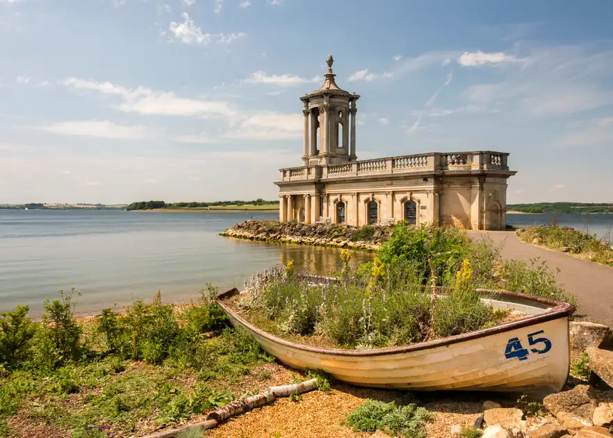
Rutland Water is the county's most prominent landscape feature, a large reservoir surrounded by parkland, woodland, wetlands and open countryside. Its shores provide a network of walking and cycling routes, with views across the water and access to nature reserves, villages and visitor areas. The Rutland Water Nature Reserve, managed by Leicestershire and Rutland Wildlife Trust, protects important wetland habitats and is particularly known for its birdlife, including breeding ospreys.
The market towns of Oakham and Uppingham provide starting points for exploring the surrounding countryside. Oakham, close to the western side of Rutland Water, has historic streets, a medieval castle and access to nearby villages and rural footpaths. Uppingham lies among rolling hills in the southern part of the county, with traditional stone buildings, historic streets and walking routes through farmland and neighbouring settlements.
Beyond Rutland Water, the county's countryside includes wooded valleys, limestone farmland, small villages and quiet lanes. The landscapes around Exton, Hambleton, Empingham and Edith Weston offer opportunities for shorter walks, with routes connecting historic churches, parkland, woodland and the shores of the reservoir. The Hambleton Peninsula extends into Rutland Water, providing views across the lake and access to surrounding countryside.
Long-distance walking routes connect Rutland with neighbouring counties. The Rutland Round forms a circular walking route through much of the county, linking villages, farmland, woodland and Rutland Water. The Viking Way also crosses Rutland, connecting its countryside with longer routes through Lincolnshire and Leicestershire. Together with local public footpaths, these trails provide opportunities for multi-day walks and shorter sections.
Nature reserves, historic estates and village landscapes add further variety to walking in Rutland. The wetlands around Egleton and Lyndon provide opportunities for birdwatching and nature walks, while the countryside around Burley, Exton and the Welland Valley includes parkland, farmland and historic rural settlements.
From the waterside paths of Rutland Water to its limestone villages, market towns and rolling agricultural countryside, Rutland can be explored through local walks and longer trails, with accommodation in Oakham, Uppingham and villages across the county.
Check availability
Select your dates to check current availability and prices.