
Exploring County Limerick
County Limerick lies in the south-west of Ireland, where rolling farmland, wooded hills, river valleys and historic settlements create a varied landscape for walking and independent exploration. From the Ballyhoura Mountains along the southern border to the River Shannon and its estuary in the north and west, the county brings together upland trails, quiet countryside and waterside landscapes.
The Ballyhoura Mountains extend along the border with County Cork, with forest trails, open hillsides and valleys providing opportunities for walking through the southern part of the county. The Ballyhoura Way, part of the wider Beara-Breifne Way walking network, crosses this landscape through woodland, farmland and rural settlements, connecting the countryside around Kilfinane and Ballyorgan with neighbouring counties.
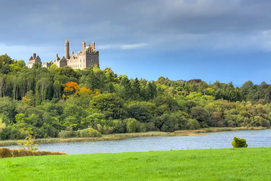
Further north, the River Shannon shapes much of County Limerick's landscape. The river passes through Limerick city before widening towards the Shannon Estuary, where tidal waters, wetlands and agricultural countryside create a distinctive landscape. Riverside paths, historic settlements and quieter rural roads provide opportunities to explore the county beyond its upland walking routes.
The western part of the county includes the countryside around Adare, Askeaton and Foynes, where historic villages, medieval buildings and the Shannon Estuary form part of the wider landscape. Inland, the rolling countryside around Newcastle West and the wooded slopes of the southern hills offer further opportunities for shorter walks and independent exploration.
Walking routes across County Limerick range from woodland trails and riverside paths to longer journeys through the Ballyhoura Mountains. The Limerick Greenway, following a former railway line, provides a traffic-free route through the west of the county, connecting settlements and rural landscapes between Rathkeale, Newcastle West and the Kerry border.
Check availability
Select your dates to check current availability and prices.