
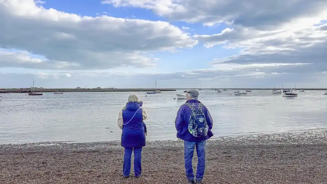
From Felixstowe along the Suffolk coast
The Suffolk Coast Path begins at Felixstowe and follows the Suffolk coastline north towards Lowestoft.
From Felixstowe, the route heads towards Felixstowe Ferry at the mouth of the River Deben, where the landscape changes from the developed seafront to estuary, marshland and open coastal countryside.
The route continues across the Deben towards Bawdsey before following the coast and estuary landscapes of the Suffolk & Essex Coast & Heaths National Landscape.
Estuaries, heathland and shingle
Much of the Suffolk Coast Path passes through a low-lying landscape shaped by the North Sea and a series of major estuaries.
Shingle beaches, saltmarsh, reedbeds, heathland and coastal grazing marsh appear along different sections of the route, while the Deben and Alde-Ore estuaries create natural interruptions in the coastline.
These estuaries have a significant influence on the route, with ferries, river crossings and inland sections forming part of the journey along the Suffolk Coast.
Orford and the Alde-Ore estuary
Around Orford, the route reaches the Alde-Ore estuary and one of the most distinctive landscapes on the Suffolk coast.
Orford Ness extends between the estuary and the North Sea, while the village of Orford sits inland beside the river.
From this part of the coast, the route continues north towards Aldeburgh, returning to the shoreline and the long shingle beaches characteristic of central Suffolk.
From Aldeburgh to Dunwich
Beyond Aldeburgh, the Suffolk Coast Path continues through coastal heathland, woodland and nature reserves.
The route passes through landscapes around Sizewell and Minsmere before reaching Dunwich, a small coastal village with a history closely connected to the changing shoreline.
Much of medieval Dunwich was lost to coastal erosion, and the present village occupies only a small part of the area once covered by the historic settlement.
Through the northern Suffolk coast
North of Dunwich, the trail continues towards Walberswick and Southwold, crossing another landscape of marshes, dunes, heathland and coastal grazing.
The River Blyth separates Walberswick and Southwold, after which the route continues north through the coastal countryside towards Covehithe and the approaches to Lowestoft.
Coastal erosion remains particularly visible along parts of this northern section.
Reaching Lowestoft
As the route approaches Lowestoft, the character of the coastline changes again.
Open coastal landscapes gradually give way to a more developed seafront as the trail reaches England's most easterly town.
Lowestoft marks the northern end of the 60-mile route from Felixstowe and provides rail connections for the journey away from the trail.
Walking from Felixstowe to Lowestoft
The complete Suffolk Coast Path covers approximately 60 miles along the Suffolk Coast.
The route is predominantly low-lying, but walking conditions vary between firm paths, field tracks, heathland, beaches and sections of shingle.
Estuaries and river crossings are a particularly important feature of the route, and some crossings depend on seasonal ferry services.
%20(1).webp)
.webp)