
Weavers’ Way
River valleys, wetlands, and a journey through the landscapes of Norfolk.
The Weavers' Way is a long-distance route running from Cromer on the North Norfolk coast to Great Yarmouth, passing through the Broads National Park and some of Norfolk's most distinctive inland landscapes. Following a mixture of riverside paths, former railway lines, quiet lanes, and countryside tracks, the route links wetlands, river valleys, historic market towns, and rural settlements through a gentle cross-county journey.
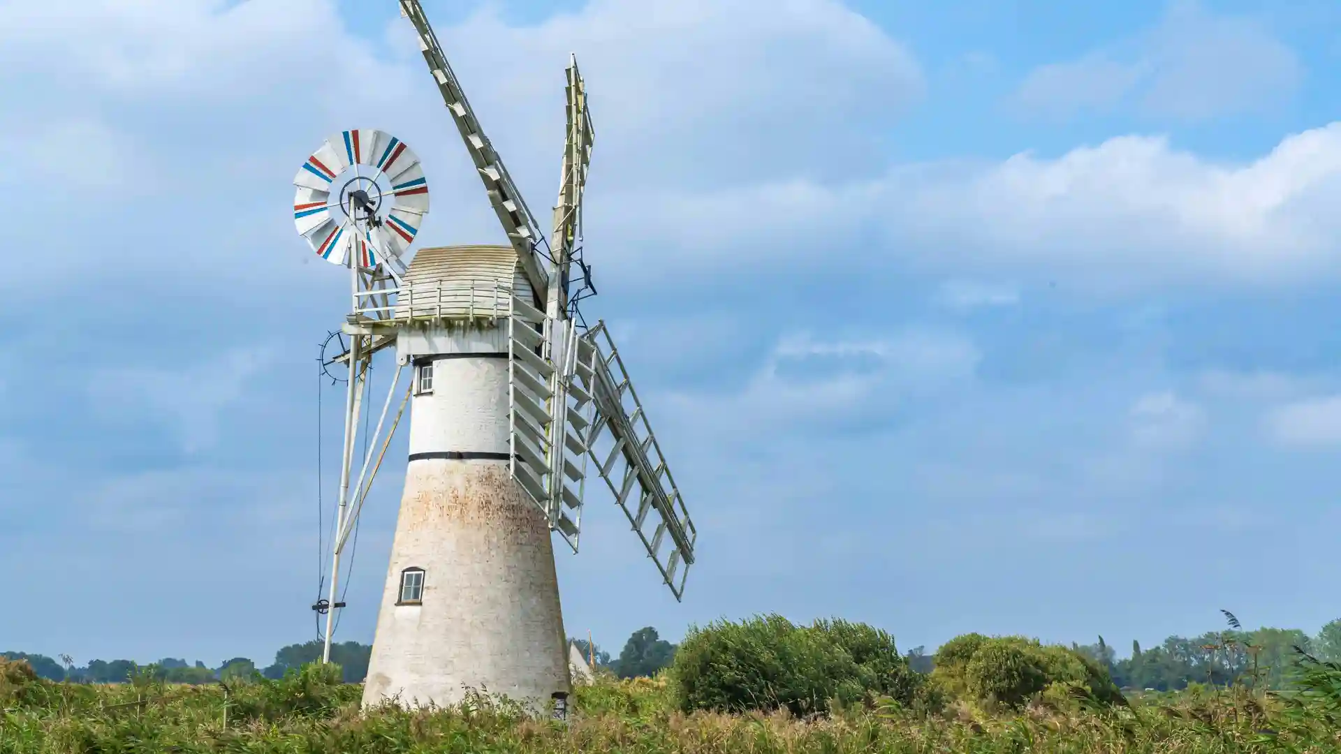
As a self-guided journey, the route connects places such as Cromer, North Walsham, Stalham, Acle, and Great Yarmouth while passing through reedbeds, grazing marshes, farmland, and waterways shaped by the Broads. Hickling Broad, the River Bure, and a network of quiet rural landscapes create a route defined by open skies, water, and a strong sense of place.
With largely flat terrain, straightforward navigation, and a range of places to stay along the route, the Weavers' Way offers one of Norfolk's most accessible long-distance trails. The route rewards steady progress and observation, providing a quieter alternative to the county's coastal paths while revealing the landscapes and communities of inland Norfolk.
Overview
Distance 61 miles / 98 km
Duration 4–6 days
Difficulty Easy-going
Start Cromer, Norfolk
Finish Great Yarmouth, Norfolk
Terrain Riverside paths, wetlands, former railway lines, farmland tracks, quiet lanes, and woodland sections
