
Thames Path (London Section)
Riverside paths, historic landmarks, and a journey through the heart of London.
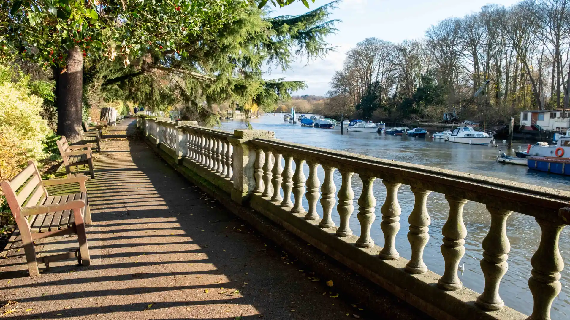
The Thames Path follows the River Thames through London from the Thames Barrier in Greenwich to Hampton Court in south-west London. Running beside one of England's most important waterways, the route links riverside parks, historic districts, cultural landmarks, and quieter green spaces through a continuous journey shaped by the river itself.
As a self-guided journey, the route connects places such as Greenwich, Canary Wharf, Westminster, Putney, Barnes, Richmond, Kew, and Hampton Court while passing many of London's best-known landmarks and riverside landscapes. Industrial waterfronts, historic embankments, urban parks, and quieter suburban reaches create a route that reveals the capital through movement along the water rather than its streets.
With largely flat terrain, clear navigation, and excellent transport connections throughout, the Thames Path offers one of England's most accessible long-distance routes. The trail combines history, architecture, green space, and everyday life, creating a distinctive journey through London that changes gradually with each bend of the river.
Overview
Distance 79 miles / 127 km
Duration 5–7 days
Difficulty Easy-going
Start Thames Barrier, Greenwich
Finish Hampton Court, Richmond upon Thames
Terrain Paved promenades, towpaths, riverside paths, and parkland
