
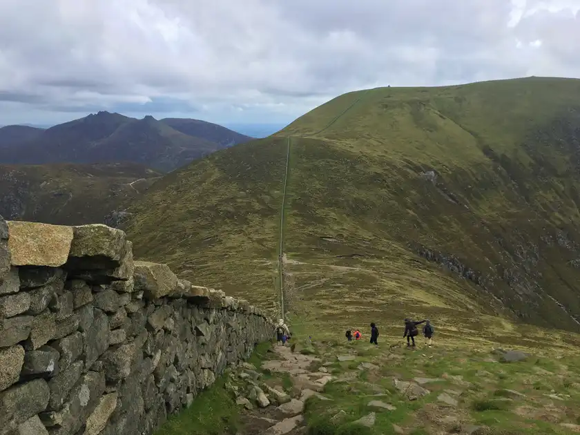
Walk the Mourne Way
The Mourne Way is a 26-mile / 42 km long-distance trail from Newcastle to Rostrevor in County Down. Crossing the Mourne Mountains, the route links the Irish Sea coast with Carlingford Lough through forests, mountain passes, open moorland and some of Northern Ireland's most distinctive upland landscapes.
Beginning in Newcastle beneath the slopes of Slieve Donard, the trail leaves the coast and follows the Shimna River towards Tollymore Forest Park. Woodland paths lead through the forest before the route emerges into the mountains, with the granite peaks of the Mournes rising around the trail.
Beyond Tollymore, the Mourne Way continues beneath Slieve Bearnagh and across increasingly open mountain country. The route passes Fofanny Reservoir before climbing towards Butter Mountain, the highest point directly crossed by the trail, with views across the surrounding Mourne Mountains.
The trail then reaches Spelga Reservoir, set high among the western Mournes. Open moorland, mountain tracks and reservoir landscapes characterise this central section of the route, with the higher summits of the Mournes forming the surrounding skyline.
Beyond Spelga, the Mourne Way continues west across the mountain landscape, passing close to the prehistoric burial site known as King's Grave before crossing the slopes around Rocky Mountain and Tornamrock.
The final section descends into Kilbroney Forest Park, where woodland replaces the open mountain landscape. Views begin to open towards Carlingford Lough, the Cooley Mountains and the surrounding coast as the trail approaches Rostrevor.
The Mourne Way finishes in Rostrevor, a village between the lower slopes of the Mournes and Carlingford Lough, completing a coast-to-lough crossing of the mountain range from Newcastle.
Overview
Distance: 26 miles / 42 km
Typical duration: 2 walking days
Difficulty: Challenging
Start: Newcastle
Finish: Rostrevor
Terrain: Forest tracks, mountain paths, open moorland, rough upland ground, reservoir tracks and woodland
Check availability
Select your dates to check current availability and prices.