
Limestone Way
Limestone plateaus, dry valleys, and a journey across Derbyshire's White Peak.
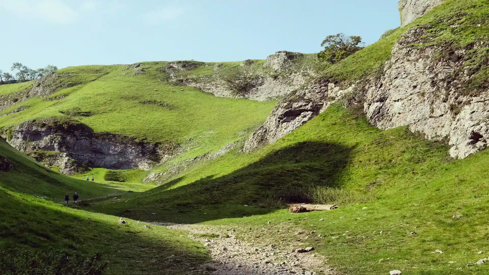
The Limestone Way is a long-distance route running from Castleton in the Peak District to Rocester in Staffordshire. Crossing the limestone landscapes of Derbyshire's White Peak, the trail links villages, dales, farmland, and open countryside through a continuous journey shaped by geology, rural life, and the distinctive character of the Peak District.
As a self-guided journey, the route connects places such as Castleton, Millers Dale, Youlgreave, Bonsall, and Rocester while passing through limestone valleys, upland pasture, dry-stone walled fields, and quiet rural landscapes. The trail follows a steady southbound line through the heart of the White Peak, creating a route defined by open views, rolling terrain, and the gradual transition between upland and lowland countryside.
The character of the route changes gradually as it progresses. The dramatic limestone scenery around Castleton and the Hope Valley gives way to broad upland plateaus and deep-cut dales, before softening into gentler farmland and river valleys near the Staffordshire border. Throughout, the landscape remains closely tied to the limestone bedrock that gives the route its name.
With manageable distances, well-established rights of way, and access to villages and accommodation along the route, the Limestone Way offers an accessible long-distance walking journey through one of England's most distinctive landscapes. The trail combines geology, countryside, and rural heritage, revealing the changing character of the White Peak through a steady progression on foot.
Overview
Distance 46 miles / 75 km
Duration 3–5 days
Difficulty Moderate
Start Castleton, Derbyshire
Finish Rocester, Staffordshire
Terrain Limestone dales, dry valleys, farmland paths, quiet lanes, upland plateau, and river valleys
