
Hebridean Way
Atlantic coastlines, causeways, and a journey across Scotland's western island chain.
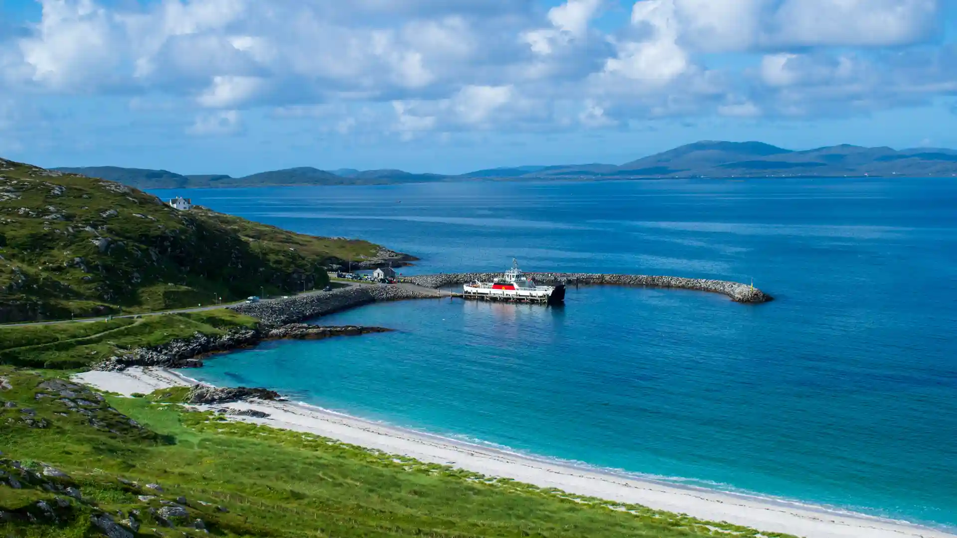
The Hebridean Way is a long-distance route running from Vatersay in the south of the Outer Hebrides to Stornoway on the Isle of Lewis. Linking ten inhabited islands through a combination of causeways, ferries, coastal paths, moorland tracks, and quiet roads, the trail creates a continuous journey through one of Scotland's most distinctive island landscapes.
As a self-guided journey, the route connects places such as Vatersay, Barra, Eriskay, South Uist, Benbecula, North Uist, Harris, and Stornoway while passing machair grasslands, Atlantic beaches, peat moorland, crofting communities, and rugged coastlines. The changing character of each island creates a route defined by variety, remoteness, and a strong connection to landscape and culture.
With generally gentle terrain but long distances between services in places, the Hebridean Way offers one of Scotland's most rewarding long-distance walking journeys. The trail combines island heritage, coastal scenery, and expansive open landscapes, revealing the full breadth of the Outer Hebrides through a sustained walk from south to north.
Overview
Distance 156 miles / 252 km
Duration 10–14 days
Difficulty Challenging
Start Vatersay, Outer Hebrides
Finish Stornoway, Isle of Lewis
Terrain Beaches, machair, moorland paths, minor roads, causeways, coastal tracks, and small settlements
