
Greensand Way
Heathland ridges, woodland hills, and a journey across Surrey and Kent.
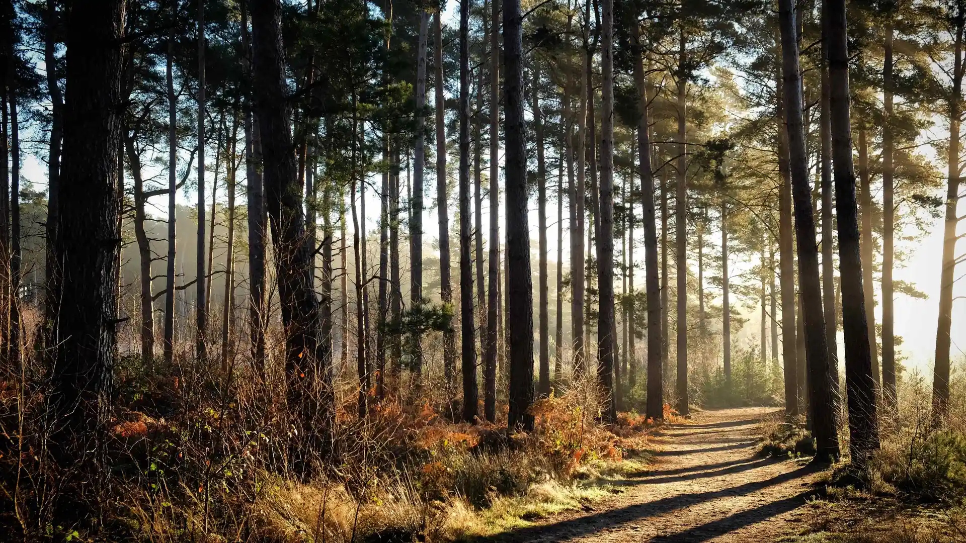
The Greensand Way is a long-distance route running from Haslemere in Surrey to Hamstreet in Kent, following the Greensand Ridge across southern England. Passing through the Surrey Hills National Landscape and Kent Downs National Landscape, the trail links heathland, woodland, farmland, historic settlements, and some of the South East's most varied inland landscapes.
As a self-guided journey, the route connects places such as Haslemere, Hindhead, Leith Hill, Sevenoaks, and Hamstreet while passing through wooded ridges, open commons, parkland estates, orchards, and rural countryside. Sandy paths, sheltered woodland tracks, and gently rolling terrain create a route defined by variety and a strong sense of connection between landscape and settlement.
With well-established paths, manageable gradients, and a range of places to stay along the route, the Greensand Way offers a quieter alternative to many of England's better-known long-distance trails. The journey combines woodland, history, and countryside, revealing a lesser-known side of southern England through steady progress along the ridge.
Overview
Distance 108 miles / 174 km
Duration 9–12 days
Difficulty Moderate
Start Haslemere, Surrey
Finish Hamstreet, Kent
Terrain Woodland tracks, heathland paths, ridge trails, farmland, parkland, and quiet village lane
