
Cumbria Way
Lakes, valleys, fells, and a journey through the heart of the Lake District.
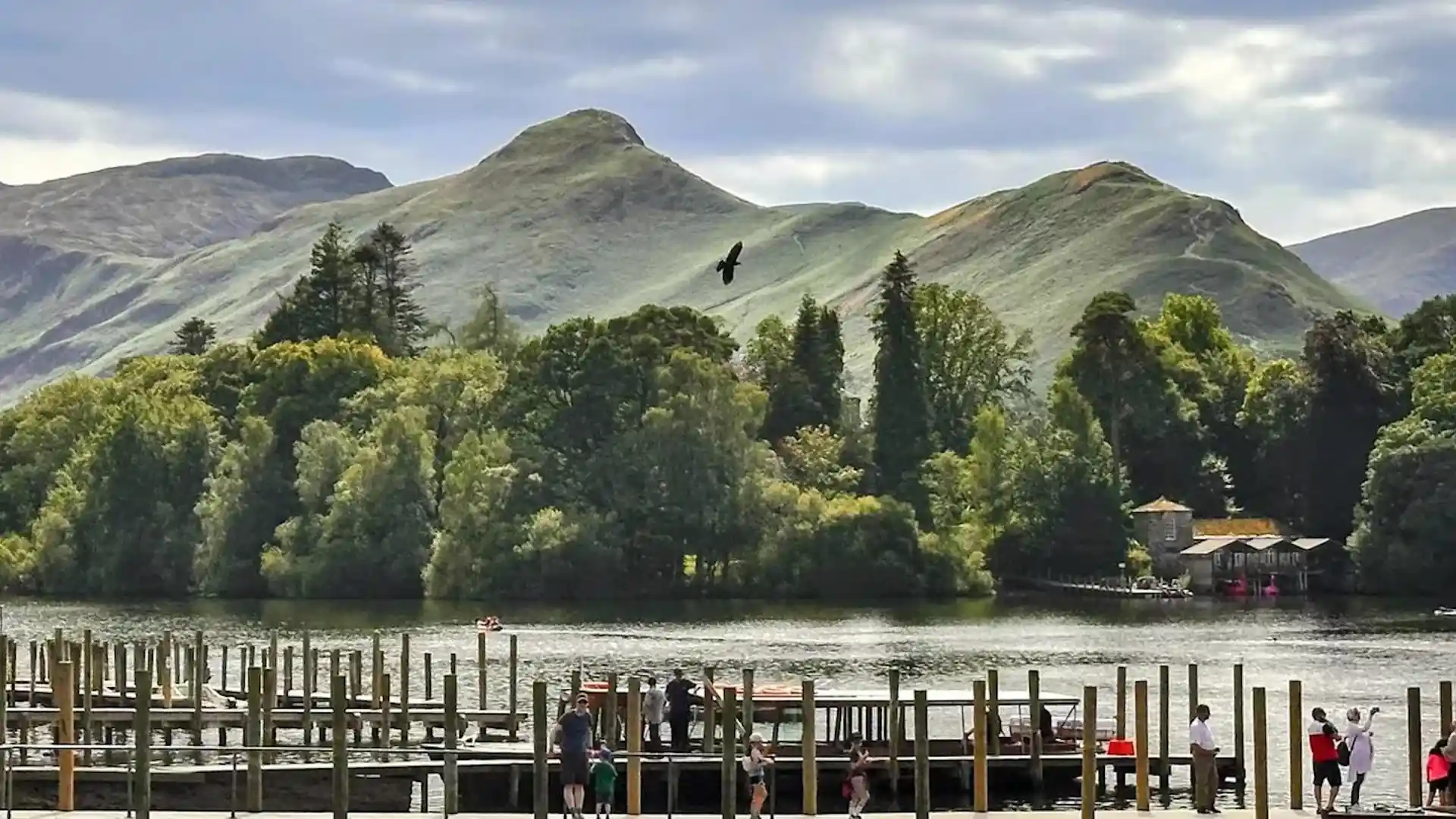
The Cumbria Way is a long-distance route crossing Cumbria from Ulverston in the south to Carlisle near the Scottish border. Passing through the Lake District National Park and the Lake District UNESCO World Heritage Site, the trail links valleys, lakes, rivers, mountain passes, and historic settlements to create one of England's most varied long-distance journeys.
As a self-guided journey, the route connects places such as Coniston, Great Langdale, Grasmere, Keswick, and Caldbeck while passing through some of the Lake District's most celebrated landscapes. Woodland paths, riverside tracks, open fell crossings, and quiet valleys combine to create a route that balances mountain scenery with everyday life in the uplands.
With well-established paths, clear route options, and a wide range of places to stay along the way, the Cumbria Way offers an accessible introduction to long-distance walking in the Lake District. The route's appeal lies in its variety, linking lakes, villages, and high fells through a continuous journey across one of England's most distinctive landscapes.
Overview
Distance 73 miles / 117 km
Duration 5–7 days
Difficulty Moderate
Start Ulverston, Cumbria
Finish Carlisle, Cumbria
Terrain Valley paths, woodland tracks, riversides, and upland crossings
