
Cotswold Way
Rolling escarpments, historic villages, and a journey through the heart of the Cotswolds.
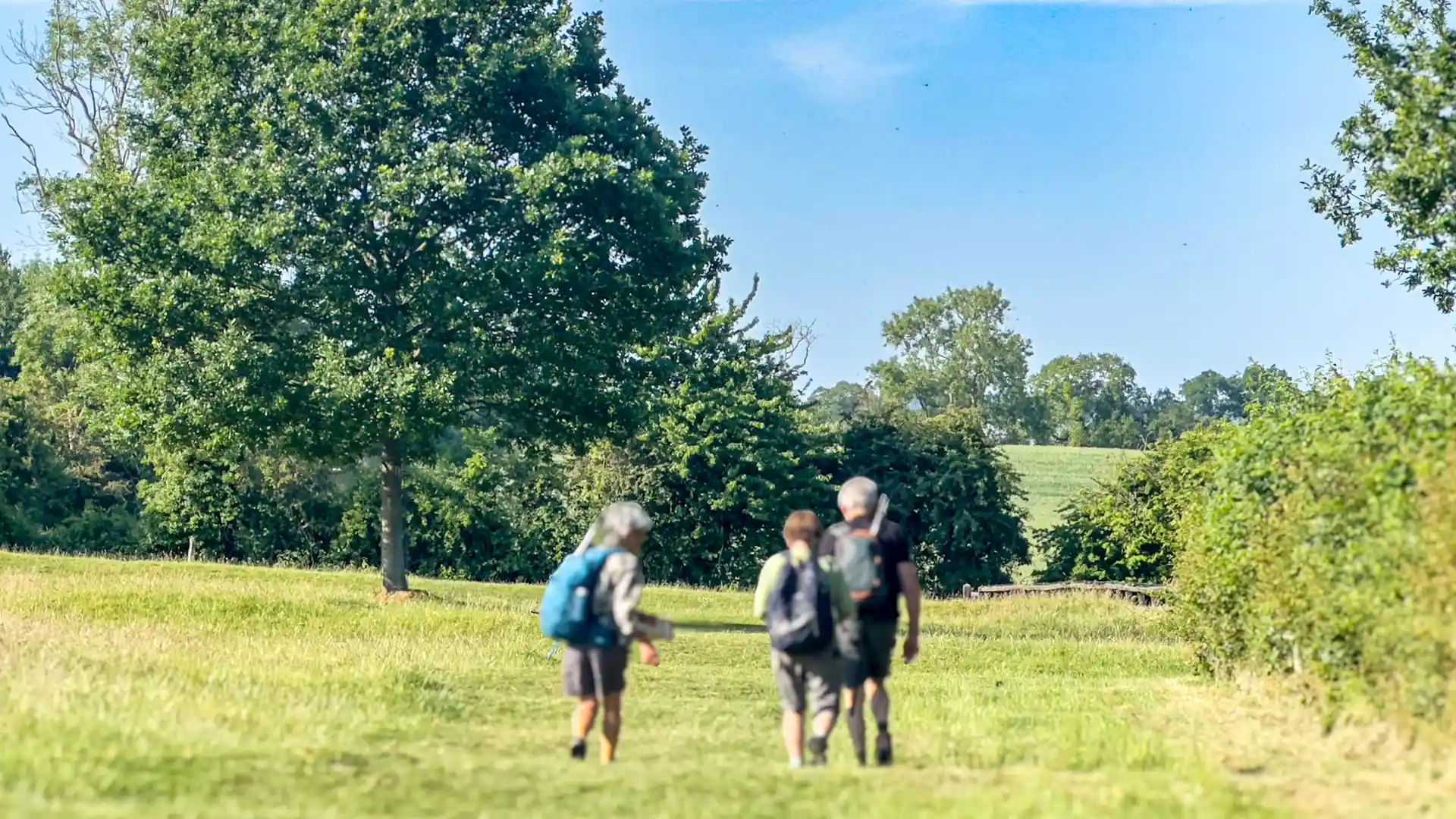
The Cotswold Way is a long-distance route running from Chipping Campden in Gloucestershire to the city of Bath in Somerset. Following the western edge of the Cotswolds National Landscape, the trail traces the Cotswold escarpment through rolling countryside, woodland, open commons, historic villages, and some of England's most recognisable rural landscapes.
As a self-guided journey, the route connects places such as Chipping Campden, Broadway, Painswick, Dursley, and Bath while passing Iron Age hill forts, ancient woodlands, and centuries-old farming landscapes. Elevated sections along the escarpment provide far-reaching views across the Severn Vale, while regular descents into valleys and villages bring variety to the journey.
With well-maintained paths, clear waymarking, and a wide range of places to stay along the route, the Cotswold Way offers one of England's most accessible National Trails. The route combines landscape, history, and settlement, linking countryside, villages, and the City of Bath UNESCO World Heritage Site through a continuous journey on foot.
Overview
Distance 102 miles / 164 km
Duration 7–10 days
Difficulty Moderate
Start Chipping Campden, Gloucestershire
Finish Bath, Somerset
Terrain Escarpment paths, open farmland, woodland tracks, valleys, and historic towns
