
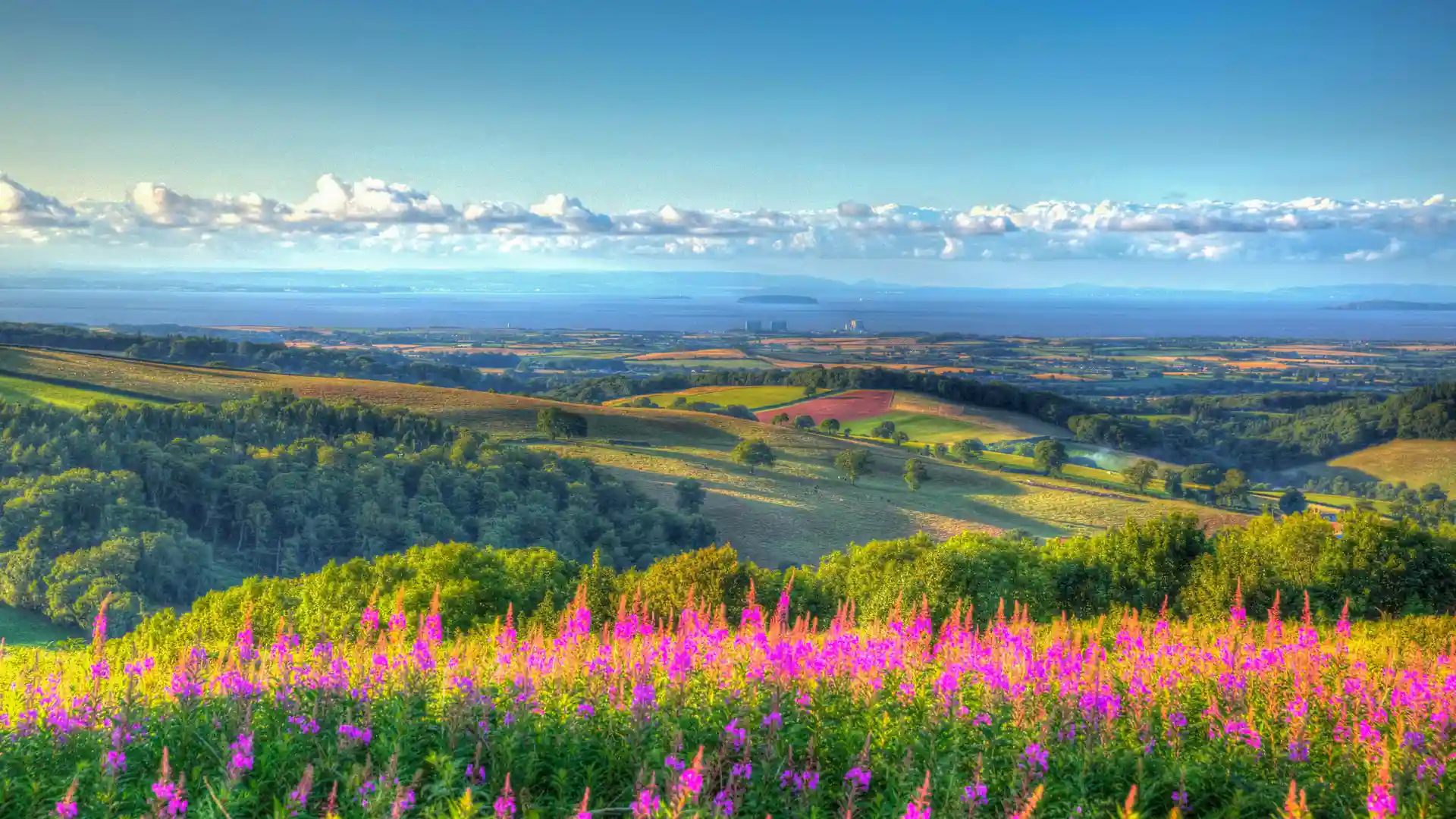
Heathland ridges, wooded combes, and far-reaching coastal views
Rolling heathland, ancient woodland, open ridges, and deep wooded valleys create a landscape that rises above the Somerset countryside between the Bristol Channel and the Vale of Taunton. The Quantock Hills National Landscape combines upland scenery, historic routes, and coastal viewpoints within one of England's most distinctive and accessible protected landscapes.
Long-distance trails such as the Coleridge Way and sections of the Macmillan Way West pass through the landscape, linking places including Crowcombe, Nether Stowey, Holford, Kilve, and West Bagborough. Moorland paths, woodland tracks, ridge-top routes, and quiet country lanes reveal changing views across Exmoor, the Bristol Channel, and the surrounding countryside, creating journeys shaped by both coast and upland landscapes.
Whether following a long-distance trail, exploring wooded combes, or walking the open ridges above the coast, the Quantock Hills rewards time spent on foot. Seasonal colour, varied terrain, and expansive views make it one of Somerset's most rewarding destinations for self-guided travel.
Check availability
Select your dates to check current availability and prices.