
Walk the Western Way
The Western Way is a 111-mile / 179 km long-distance trail from Oughterard in County Galway to Ballycastle on the north Mayo coast. Crossing the landscapes of Connemara and County Mayo, the route passes mountains, loughs, valleys and extensive areas of blanket bog as it travels north through the west of Ireland.
Beginning at Oughterard on the western side of Lough Corrib, the Western Way heads north through the countryside of Connemara towards Maam. This southern part of the trail crosses the Joyce Country and Western Lakes UNESCO Global Geopark, a landscape of mountains, glacial valleys and lakes recognised by UNESCO in 2026.
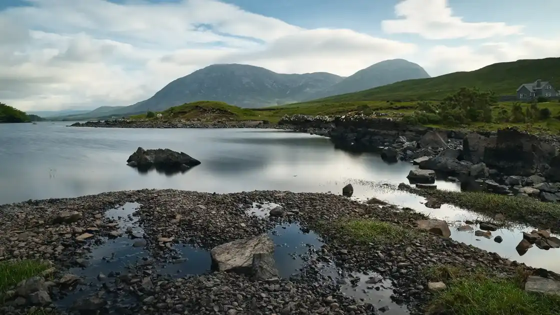
Beyond Maam, the route crosses the Maumturk Mountains through the historic mountain pass of Mám Éan before descending into the Inagh Valley. Here the trail passes between the Maumturks and the Twelve Bens, with mountain scenery and open moorland accompanying the route north towards Leenane.
At Leenane, the Western Way reaches Killary Harbour, a long glacial inlet enclosed by mountains on the Galway-Mayo border. The route continues through Aasleagh into County Mayo before crossing the countryside beneath the Sheeffry Hills and approaching Croagh Patrick.
The trail skirts the eastern slopes of Croagh Patrick before descending towards Westport, with views across Clew Bay and its many islands. Westport is one of the principal towns along the route and marks a transition between the mountain landscapes of south Mayo and the quieter country to the north.
From Westport, the Western Way continues through Newport before heading into increasingly remote countryside around Lough Feeagh and the Nephin Beg Mountains. This northern section reaches Wild Nephin National Park, where mountain ranges, forestry and extensive Atlantic blanket bog form one of the largest areas of wilderness in Ireland.
The route continues through the remote landscapes around Letterkeen, Derry and Bellacorick before crossing the bog and forestry country of north Mayo. Beyond Sheskin, the trail gradually descends towards the Atlantic coast and Ballycastle, where the Oughterard to Ballycastle journey ends.
Overview
Distance: 111 miles / 179 km
Typical duration: 7–9 walking days
Difficulty: Moderate to Challenging
Start: Oughterard
Finish: Ballycastle
Terrain: Mountain passes, moorland, blanket bog, forestry tracks, quiet roads, valleys and lakeside paths
Check availability
Select your dates to check current availability and prices.