
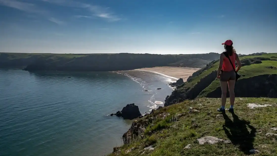
Walk the Pembrokeshire Coast Path
The Pembrokeshire Coast Path is a 186-mile National Trail following the coastline of Pembrokeshire from St Dogmaels in the north to Amroth in the south. Much of the route lies within Pembrokeshire Coast National Park, passing cliffs, beaches, headlands, islands, harbours and coastal settlements as it travels around the western edge of Wales.
From St Dogmaels, the trail follows the rugged northern Pembrokeshire coast towards Newport. This is one of the more demanding parts of the route, with frequent steep climbs and descents as the path crosses remote cliffs and coastal valleys above Cardigan Bay.
Beyond Newport, the Pembrokeshire Coast Path continues around the coast towards Fishguard and Goodwick. The route passes a succession of small bays and headlands before turning west towards the exposed coastline around Strumble Head.
From Strumble Head, the trail continues through a dramatic landscape of cliffs, rocky coves and small coastal settlements towards Porthgain. This northern section has a particularly wild character, with long stretches of open coastline between villages and harbours.
Beyond Porthgain, the route follows the coast around the north-western edge of Pembrokeshire towards the St Davids Peninsula. The trail passes close to St Davids before continuing around the coastline through St Justinian's and towards Solva.
From Solva, the Pembrokeshire Coast Path continues east and south through coastal countryside towards Broad Haven. Cliffs, beaches and small bays characterise the route as it follows the western side of St Brides Bay.
The trail then continues around the southern side of St Brides Bay towards Marloes and the Dale Peninsula. Offshore islands and exposed headlands form a distinctive part of the landscape before the route turns into the extensive natural harbour of the Milford Haven Waterway.
Around the Milford Haven Waterway, the character of the trail changes from exposed Atlantic coastline to estuary, harbour and more settled landscapes. The route makes a substantial journey inland around the waterway before eventually reaching Angle and returning to the open coast.
Beyond Angle, the path continues along the southern Pembrokeshire coast towards Freshwater West. The route then passes cliffs, beaches and limestone landscapes on its journey towards the Stackpole area and the southern coast of Pembrokeshire.
The trail continues east past Broad Haven South and towards the coastline around Manorbier and Tenby. This section combines cliff-top walking with sandy beaches, small bays and some of the best-known coastal settlements in southern Pembrokeshire.
From Tenby, the final miles continue through Saundersfoot and along the coast towards Amroth. The trail finishes at the eastern edge of Pembrokeshire, where the Wales Coast Path continues east along Carmarthen Bay.
St Dogmaels, Newport, Fishguard, St Davids, Solva, Broad Haven, Dale, Tenby, Saundersfoot and Amroth provide useful bases for exploring different parts of the route. Although the complete Pembrokeshire Coast Path is a substantial long-distance walk, its succession of coastal towns, villages and beaches makes it particularly well suited to shorter sections and stay-based walking breaks around the Pembrokeshire coast.
Overview
Distance: 186 miles / 299 km
Typical duration: 12–15 walking days
Difficulty: Moderate to Challenging
Start: St Dogmaels, Pembrokeshire
Finish: Amroth, Pembrokeshire
Terrain: Cliff-top paths, beaches, coastal paths, steep ascents and descents, field paths, estuary paths, rural tracks and short road sections
Check availability
Select your dates to check current availability and prices.