
Walk Glyndŵr’s Way
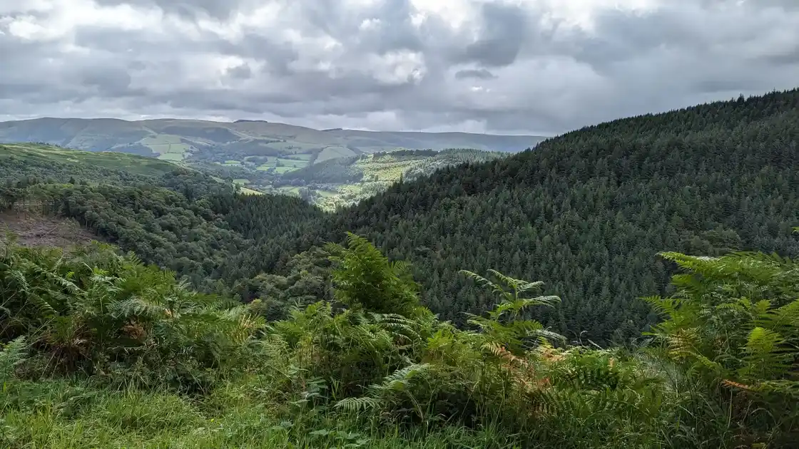
Glyndŵr’s Way is a 135-mile / 217 km National Trail running from Knighton to Welshpool, making a wide journey through the hills and valleys of Mid Wales via Machynlleth. Named after Owain Glyndŵr, the route crosses some of the quieter countryside of Wales, connecting market towns, small villages, upland landscapes and remote stretches of open country.
Beginning at Knighton close to the border with England, Glyndŵr’s Way heads west through rolling farmland and increasingly remote countryside. The trail passes through small settlements and hill country on its way towards Abbeycwmhir and Llanidloes, with long stretches following paths, tracks and quiet lanes through sparsely populated landscapes.
Beyond Llanidloes, the trail passes Llyn Clywedog before climbing into higher country around Dylife and Foel Fadian. From here, the route continues towards Machynlleth and the Dyfi Valley, reaching one of the principal towns along the trail and a place closely associated with Owain Glyndŵr.
From Machynlleth, Glyndŵr’s Way turns east again through the countryside around Llanbrynmair, crossing upland landscapes, farmland and forest on its way towards Lake Vyrnwy. The final stages continue through the Vyrnwy Valley and countryside around Meifod before reaching Welshpool.
The route includes repeated climbs and long stretches through remote countryside, making it a more demanding walk than the distance alone might suggest. Its quieter character is a large part of the experience, but accommodation and services can be limited in some sections, making it worth planning overnight stops in advance.
Overview
Distance: 135 miles / 217 km
Typical duration: 9–11 walking days
Difficulty: Moderate to Challenging
Start: Knighton
Finish: Welshpool
Terrain: Upland paths, rolling farmland, moorland, forest tracks, valleys and quiet lanes
Check availability
Select your dates to check current availability and prices.