
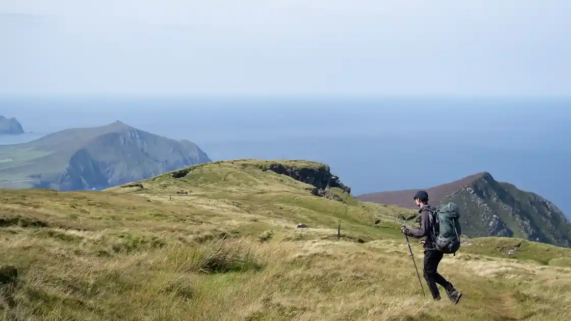
Walk the Dingle Way
The Dingle Way is a 101-mile circular walking trail beginning and ending in Tralee and exploring the Dingle Peninsula in County Kerry. The route combines mountain landscapes, farmland, beaches and Atlantic coastline as it travels around one of Ireland's westernmost peninsulas.
From Tralee, the Dingle Way follows the canal towards Blennerville before climbing onto the lower slopes of the Slieve Mish Mountains. The route continues west through upland countryside towards Camp, with views across Tralee Bay and the surrounding mountains.
Beyond Camp, the trail crosses the peninsula towards Inch and Annascaul. Mountain slopes and valleys give way to views of Dingle Bay and the long sweep of Inch Beach before the route continues through rural countryside towards Annascaul.
From Annascaul, the Dingle Way heads west through farmland and passes close to the coast at Minard before continuing through Lispole towards Dingle. Mountains rise to the north while Dingle Bay remains close to the south.
Dingle provides one of the principal bases on the route. From the town, the trail continues west through the countryside towards Ventry before beginning its journey around the western end of the peninsula.
The western stages pass through some of the Dingle Way's most distinctive Atlantic landscapes. The route continues around Slea Head towards Dunquin, with views towards the Blasket Islands and the open Atlantic.
Beyond Dunquin, the trail continues through the countryside around Ballyferriter and towards Ballydavid on the northern side of the peninsula. Beaches, cliffs, farmland and views across the Atlantic characterise this exposed western section.
From Ballydavid, the Dingle Way turns east and crosses the mountains beneath Mount Brandon towards Cloghane. This is one of the highest and more demanding sections of the route, crossing a mountain saddle before descending towards Brandon Bay.
Beyond Cloghane, the character of the trail changes again as it follows the northern side of the peninsula towards Castlegregory. Long stretches of beach and low-lying coastal countryside contrast with the mountain crossing of the previous stage.
From Castlegregory, the Dingle Way turns towards Tralee, following coastal countryside and the lower slopes of the Slieve Mish Mountains before returning through Blennerville and along the canal to its starting point in Tralee.
Tralee, Annascaul, Dingle, Ballyferriter, Ballydavid, Cloghane and Castlegregory provide useful bases around the route. Although the complete Dingle Way is a substantial long-distance walk, its circular geography and succession of villages and coastal landscapes also make it well suited to shorter sections and walking breaks around the Dingle Peninsula.
Overview
Distance: 101 miles / 163 km
Typical duration: 7–10 walking days
Difficulty: Challenging
Start: Tralee, County Kerry
Finish: Tralee, County Kerry
Terrain: Mountain paths, field paths, beaches, coastal paths, farmland, rural lanes, old tracks and village paths
Check availability
Select your dates to check current availability and prices.