
Walk the Anglesey Coast Path
The Anglesey Coast Path is a 130-mile / 200 km circular coastal trail around the Isle of Anglesey in North Wales. Forming part of the wider Wales Coast Path, the route begins and finishes at Holyhead and follows much of the island's coastline through beaches, cliffs, dunes, saltmarsh, farmland and coastal villages.
From Holyhead, the trail explores the rugged coastline of Holy Island, passing Holyhead Mountain and the sea cliffs around South Stack Lighthouse before continuing through bays and coastal communities towards the northern shores of Anglesey. Long stretches of open coast lead past Church Bay towards Cemaes, with headlands, small coves and views across the Irish Sea shaping this part of the route.
Across the north of the island, the path continues through some of Anglesey's wildest coastal landscapes, passing the coastline around Cemlyn before reaching Amlwch. From here, the trail follows cliffs, former quarrying landscapes and small bays towards Moelfre, before continuing around the eastern coast through beaches and farmland towards Beaumaris.
Around the Menai Strait, the character of the route changes as the trail follows sheltered shores with views across the water towards the mountains of North Wales. The path passes beneath the bridges connecting Anglesey with the mainland before turning towards the island's southern coastline.
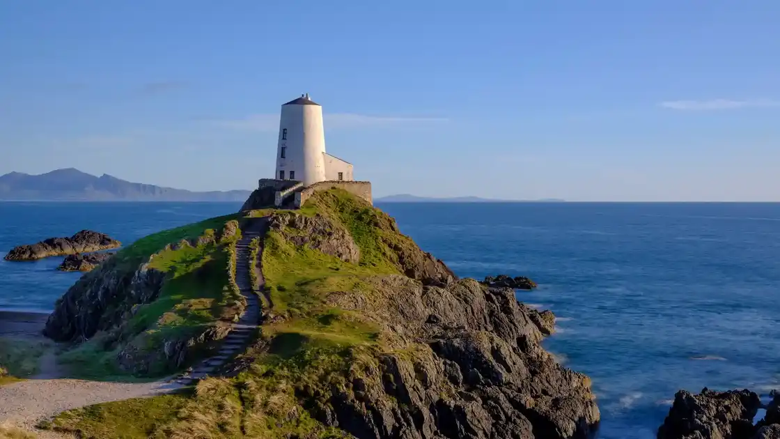
The south-western section includes some of the best-known landscapes on Anglesey, with broad beaches, dunes and views across to the Llŷn Peninsula and Eryri. The route passes Newborough and the landscapes around Llanddwyn Island before continuing through Aberffraw and Rhosneigr on its return towards Holy Island and Holyhead.
Much of the Anglesey Coast Path lies within the Anglesey National Landscape, which protects the island's distinctive coastline. Although the route has no major mountains, repeated climbs and descents around headlands, cliffs and bays accumulate over the complete circuit and make it a substantial long-distance walk.
Overview
Distance: 130 miles / 200 km
Typical duration: 10–12 walking days
Difficulty: Moderate to Challenging
Start: Holyhead
Finish: Holyhead
Terrain: Coastal paths, cliffs, beaches, dunes, heathland, saltmarsh, farmland, woodland and quiet lanes
Check availability
Select your dates to check current availability and prices.