
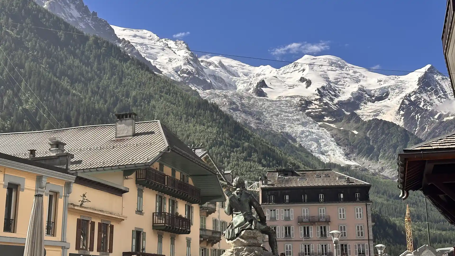
A high Alpine valley system of glaciers, steep slopes, and narrow river corridors beneath the Mont Blanc Massif
Mont Blanc & the Upper Arve is a high Alpine area in eastern France centred on the upper River Arve and the Mont Blanc Massif. Walking routes cross the Aiguilles Rouges National Nature Reserve and the Contamines-Montjoie Nature Reserve, follow long-distance routes including the Tour du Mont Blanc and the Haute Route, and link places such as Chamonix, Argentière, Les Houches, Servoz, Vallorcine, and Le Tour across glacial valleys, forested slopes, and high mountain passes.
Much of the terrain is steep and uneven underfoot. Valley sections use tracks, minor roads, and riverside paths that allow steady movement along the Arve corridor. Higher routes follow mountain trails, rocky paths, and alpine meadows with sustained ascents to cols and ridgelines. Gradients are often continuous and elevation gain is significant.
The landscape shifts between sub-areas. Around Chamonix and Argentière, the valley is narrow and enclosed by high peaks and glaciers descending from the Mont Blanc Massif. West toward Servoz and Les Houches, slopes are forested with broader valley sections. Toward Vallorcine and the Swiss border, terrain becomes more remote, with high passes and open upland ground.
Settlements are concentrated along the valley floor, creating linear access points connected by transport and path networks, while upper slopes and side valleys remain sparsely settled.
Trails and Routes Through Mont Blanc & the Upper Arve
Tour du Mont Blanc
A long-distance circular route encircling the Mont Blanc Massif via high passes and mountain trails through France, Italy, and Switzerland.
Haute Route
A high-level Alpine route linking Chamonix with Zermatt using passes, alpine paths, and mountain terrain.
Valley and balcony paths
Local riverside and mid-slope trails linking villages along the Arve and providing lower-level alternatives to high mountain routes.
Nature reserve trails
Waymarked paths within protected slopes and forests above the valley floor.
Walking Character
- Glaciated peaks and high mountain walls
- Narrow valleys and steep slopes
- Rocky alpine paths and forest tracks
- Sustained climbs to high passes
- Settlements concentrated along the valley floor
- Predominantly high-altitude and mountainous
Check availability
Select your dates to check current availability and prices.