
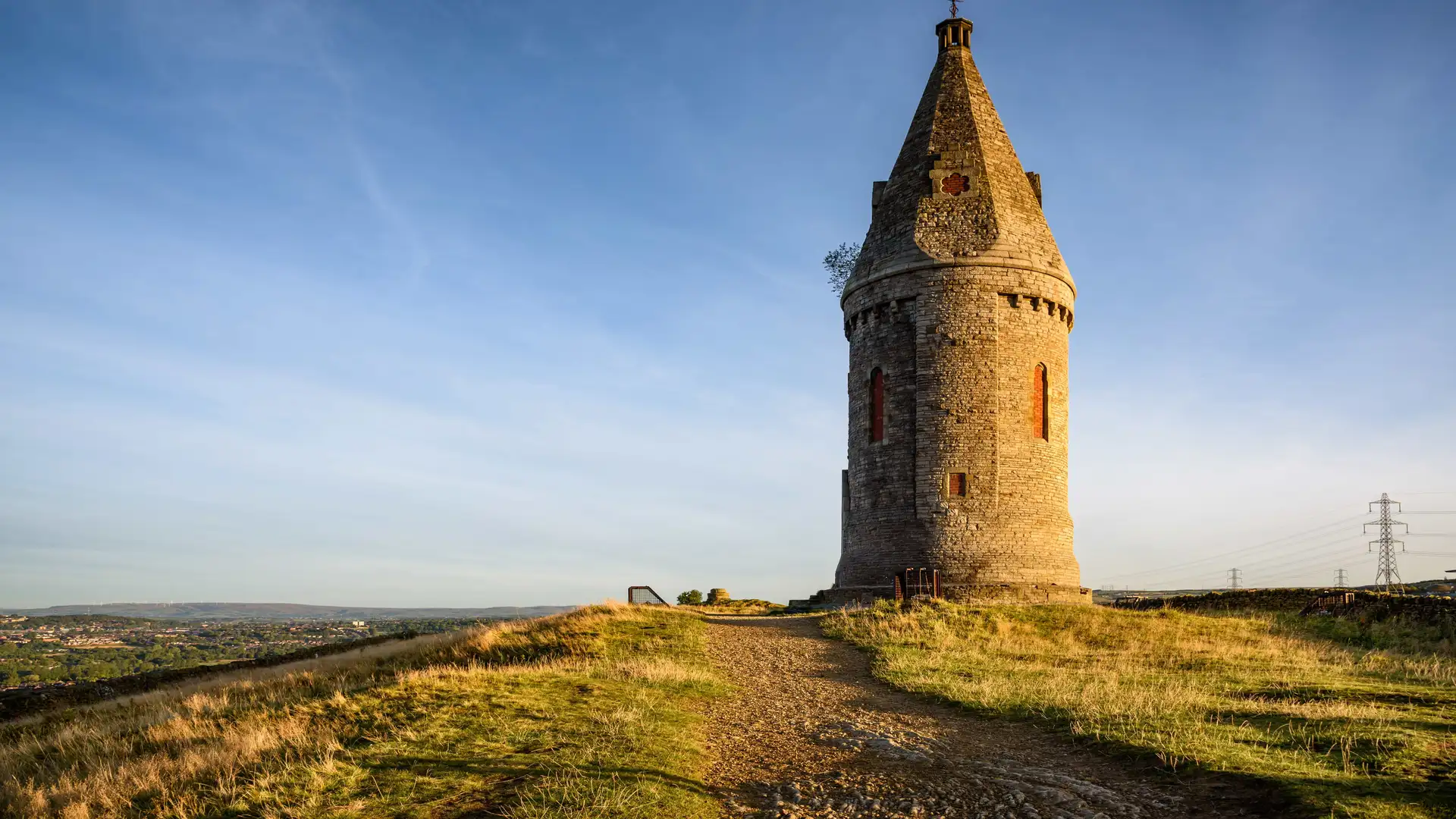
Urban waterways, wooded valleys, and upland moorland between the Pennines and the Cheshire Plain
Canals, river corridors, and upland fringes shape Greater Manchester, where walking routes follow the Pennine Bridleway, the Rochdale Canal, the Bridgewater Canal, and the Irwell Valley, linking places such as Manchester, Salford, Bolton, Bury, Oldham, Rochdale, and Stockport across parks, reservoirs, and former industrial waterways.
Much of the terrain is firm and accessible underfoot. Canal towpaths, riverside paths, paved greenways, and parkland trails allow steady progress through urban and suburban areas, while rougher tracks and short climbs appear on the Pennine edge and higher moorland.
The landscape changes across the county. The centre is defined by waterways, parks, and regenerated industrial corridors, while the north and east rise into the Pennine foothills around Saddleworth, Ramsbottom, and the West Pennine Moors. To the south and west, the ground becomes flatter with farmland, woodland, and broad river valleys.
Towns and districts sit close together, creating frequent access points and flexible start and finish locations for both short local walks and longer point-to-point routes.
Trails and Routes Through Greater Manchester
Pennine Bridleway
Crosses the eastern side of the county along higher ground and reservoir landscapes, linking Oldham and Saddleworth with the wider Pennines.
Rochdale Canal towpath
Level waterside walking between Manchester city centre, Middleton, and Rochdale along continuous canal paths.
Bridgewater Canal towpath
Flat, traffic-free routes connecting Manchester, Salford, and Worsley through historic industrial and parkland settings.
Irwell Valley paths
Riverside trails following the River Irwell between Salford, Bury, and Rossendale through woodland and open green space.
West Pennine Moors paths
Upland tracks and bridleways across open moorland and reservoirs around Bolton, Horwich, and Ramsbottom.
Walking Character
• Canal and riverside towpaths
• Urban parks and green corridors
• Woodland valleys and reservoirs
• Pennine foothills and open moorland
• Frequent transport links and access points
• Mostly level walking with moderate upland climbs
Check availability
Select your dates to check current availability and prices.