
Exploring Nottinghamshire
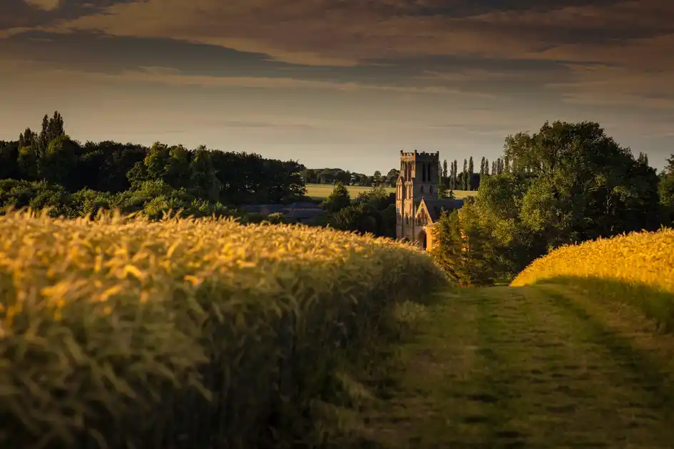
Nottinghamshire lies in The Midlands, bordered by Derbyshire to the west, South Yorkshire to the north, Lincolnshire to the east and Leicestershire to the south. Its landscapes include ancient woodland, heathland, river valleys, farmland, historic parkland and former industrial countryside, with walking routes connecting market towns, villages, nature reserves and green spaces across the county.
Sherwood Forest, in central Nottinghamshire, is one of the county's most distinctive landscapes. Its surviving ancient oak woodland, heathland and open countryside form part of the historic royal forest associated with Robin Hood. Around Edwinstowe, Sherwood Forest National Nature Reserve protects ancient trees and woodland habitats, including the Major Oak, while surrounding footpaths connect forest trails, villages and neighbouring countryside.
To the north, the landscapes of the Dukeries include historic estates, woodland and parkland around Worksop, Clumber Park, Rufford Abbey and Welbeck. Walking routes cross woodland, lakeside paths, former estate landscapes and open countryside, with Clumber Park providing an extensive network of trails through parkland, woodland and around its central lake. Further east, the countryside around Newark and Southwell includes farmland, villages and historic settlements.
The River Trent crosses Nottinghamshire from the south-west towards the north-east, passing Nottingham and Newark before continuing towards the Humber. Its valley includes riverside meadows, wetlands, former gravel workings and agricultural landscapes, with walking routes connecting towns, villages and nature reserves. Around Nottingham, the river corridor links urban green spaces with the surrounding countryside, while the Trent Valley further east provides quieter riverside walking.
Long-distance walking routes connect Nottinghamshire with neighbouring counties. The Trent Valley Way follows sections of the River Trent, linking riverside settlements and countryside, while the Robin Hood Way forms a circular route through Sherwood Forest, historic estates, villages and the wider Nottinghamshire landscape. The Cross Britain Way also passes through the county, connecting Nottinghamshire with longer walking routes across England.
Away from the main trails, Nottinghamshire's market towns, historic villages and country parks provide opportunities for shorter walks and walking breaks. Southwell, Newark, Retford and Worksop offer access to local footpaths, historic streets and surrounding countryside. The former mining landscapes around Mansfield and Ashfield have also developed networks of woodland, country parks and reclaimed green spaces, providing additional routes for exploring on foot.
Nature reserves and wetland landscapes add further variety to walking across the county. Attenborough Nature Reserve, beside the River Trent south-west of Nottingham, contains lakes, reedbeds, wetlands and walking paths, while the Idle Valley Nature Reserve near Retford provides access to lakes, grassland and wetland habitats. These areas complement the woodland landscapes of Sherwood Forest and the historic parklands of the Dukeries.
From the ancient woodland of Sherwood Forest and the estates of the Dukeries to the River Trent and the agricultural countryside around its market towns, Nottinghamshire can be explored through forest paths, riverside walks and longer trails, with accommodation in historic towns, villages and countryside locations across the county.
Check availability
Select your dates to check current availability and prices.