Forested ridges, glacial valleys, and quiet uplands south of Dublin
The Wicklow Way climbs steadily out of Dublin’s southern suburbs and into the rounded hills of the Wicklow Mountains, following forest tracks, open ridges, and quiet lanes through one of Ireland’s most varied walking landscapes. For those exploring eastern Ireland through self-guided travel, the route links villages, valleys, and upland places such as Roundwood and Glendalough, connecting farmland and forest into a continuous, walkable journey south towards County Carlow.
Walking here is shaped by rhythm rather than drama. The trail rises and falls across low passes and broad slopes, crossing streams, boardwalks, and stretches of open moor where the sky feels wide and weather moves quickly. Progress is steady and unhurried, with each stage unfolding gradually — a sequence of wooded tracks, peat-dark hillsides, and long views across lakes and distant ridgelines.
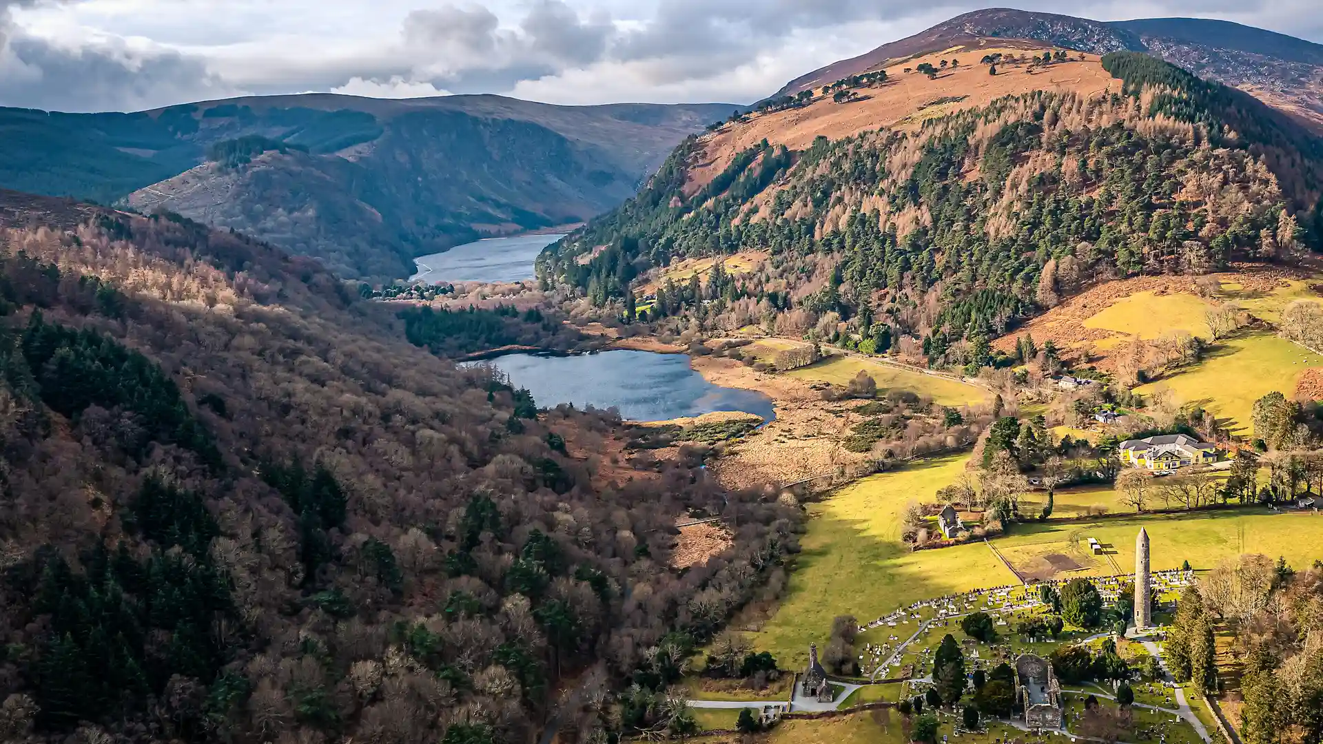
Forestry gives way to open mountain, then back to enclosed glens. Water is rarely far away: small rivers thread through valleys, waterfalls spill from higher ground, and the twin lakes of Glendalough sit quietly beneath steep slopes and scattered woodland. The landscape feels layered with history, from early monastic remains to old farm boundaries and generations of hill grazing.
Villages appear at natural intervals, offering places to pause rather than destinations to reach. Enniskerry, Laragh, and Tinahely feel tied to local life and landscape, reinforcing the trail’s human scale. Even though Dublin lies close behind, long stretches feel calm and removed, defined more by birdsong and wind than by roads.
As the route continues south, the mountains soften into pastoral countryside. Fields, hedgerows, and country lanes mark the final miles into Clonegal, where the uplands give way to farmland and the journey ends quietly. The overall experience is one of transition — from city edge to mountain interior to rural lowland — experienced slowly, step by step.
For many walkers, the appeal of the Wicklow Way lies in that balance: accessible, varied, and gently demanding without ever feeling extreme — a route that invites steady movement through landscape rather than challenge for its own sake.
Trail Overview
Distance
Approximately 81 miles / 130 km
Typical time on foot
6–8 days
Start
Marlay Park, Dublin
Finish
Clonegal, County Carlow
Terrain
Forest paths, mountain tracks, open moorland, boardwalk, quiet country lanes, and farmland
