Estuaries, rolling hills, and harbour towns along Devon’s southern shore
Running from Plymouth to Exmouth, this stretch of the South West Coast Path follows a softer, more sheltered coastline shaped by broad estuaries, wooded valleys, and working ports. The route threads through the South Devon National Landscape and the East Devon National Landscapes, linking river mouths, headlands, and long-settled towns where land and sea meet more gently than on the Atlantic-facing coast.
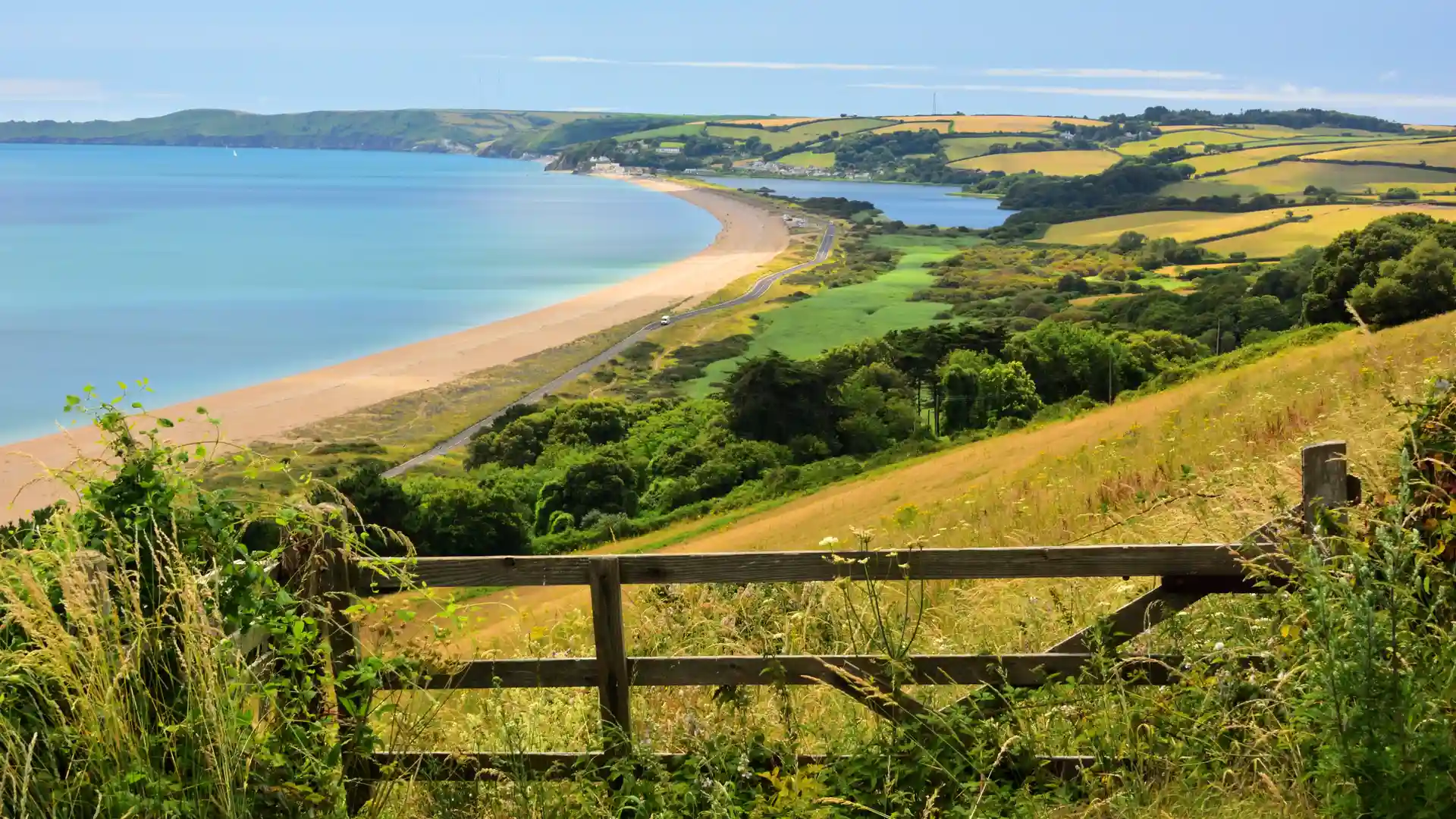
Walking here is defined less by exposure and more by variation. Clifftop paths give way to ferry crossings and waterside tracks, then rise again over low farmland ridges before dropping into another harbour or tidal creek. The rhythm is steady and changeable, shaped by rivers as much as the sea.
Fields slope down toward sheltered coves, woodland gathers around the edges of the water, and beaches appear unexpectedly between headlands. The coastline curves inward and outward, creating a sequence of enclosed bays and open viewpoints rather than long, continuous cliffs. Light shifts across the estuaries and mudflats, and the sense of movement comes from tracing the outline of the shore.
Towns sit naturally along the route. Salcombe, Dartmouth, Brixham, Torquay, and Exmouth feel part of the landscape rather than separate from it, their harbours, quays, and ferries forming part of the day’s progress. These places provide pauses in the walk without breaking its continuity.
This section of the path feels settled and lived-in — a coastline of rivers, farmland, and maritime history, where the journey unfolds through small changes in terrain and tide rather than dramatic scale.
Trail Overview
Distance
Approx. 120 miles / 193 km
Typical time on foot
8–12 days
Start
Plymouth, Devon
Finish
Exmouth, Devon
Terrain
Estuary paths, farmland tracks, wooded valleys, beaches, headlands, and harbour towns
Waymarking
National Trail acorn symbols throughout
